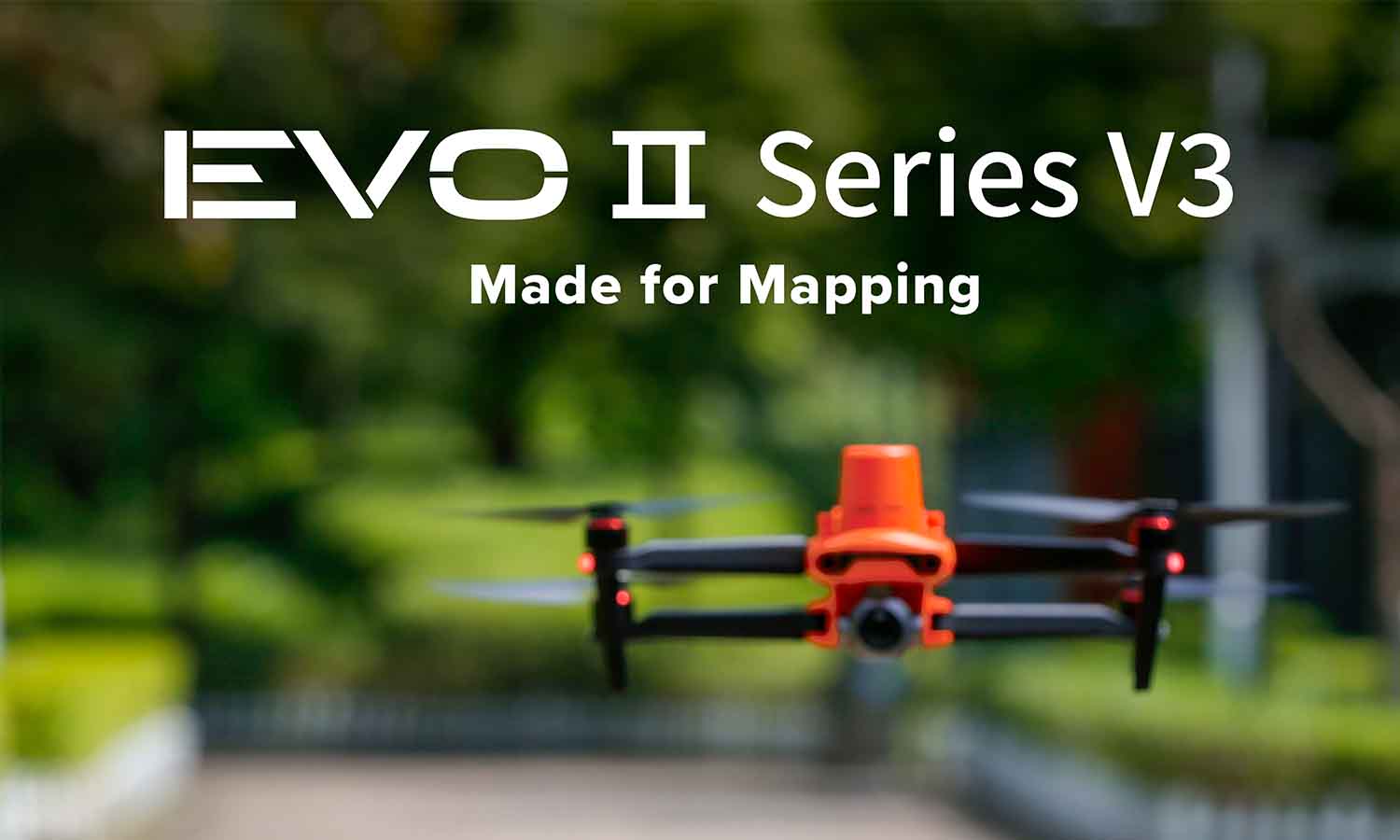
The EVO II Series V3: Made for Inspectors

The EVO II V3 series is on the market, and its new capabilities are ideal for inspections and land mapping.
The EVO II is already in use with demanding industries worldwide. Users have praised it for its usability, camera quality, and reliability. The V3 chipset improves performance and adds new features that boost key functions, making it the ideal tool for clear, accurate surveying.
6K Precision Imaging
Capture high-quality video with the 6K, 20MP camera, which features 3x lossless zoom and 16x digital zoom for maximum detail at close or long range.
New to the EVO II V3 series, Moonlight Algorithm 2.0 boosts low-light performance, letting users get crisp images while flying indoors or at late hours.
The EVO II V3 series’ increased low-light performance allows inspectors to save money and reduce the need for specialized equipment, while still maintaining the image quality they need.
Better Range, Clearer Signal
The new chipset boosts the EVO II V3 series’s range to 9.3 miles, and its tri-band operating frequency gives clearer, more reliable connection in high-interference environments, like when inspecting cell towers or power lines.
Enhanced Thermal
The V3 chipset gives increased processing power that lets the 640x512 thermal camera take crisper images, allowing operators to see more details at all ranges.
Thermal imaging allows operators to see anomalies on electrical systems and observe stress points, leaks, and more. Radiometric imaging lets pilots read exact temperatures with a single tap on the screen. The thermal overlay mode lets you layer RGB and thermal imaging for a comprehensive picture of what’s seen and unseen.
The Dual 640T camera features 10 color palettes so the user can tailor their view to gather the right information for each mission.
Centimeter-Accurate Precision
The Real-Time Kinetic (RTK) module pairs with NTRIP systems to provide extra precision when every centimeter counts. The EVO II V3 RTK also captures raw GNSS logs to allow for Post Processed Kinematic (PPK) use after the mission. That plus GNSS satellite positioning gives the EVO II V3 accurate locating capability, even in complex environments.
The RTK-equipped EVO II V3 is compatible with either the 6K RGB camera or 640T thermal.
Intelligent Automation
The EVO II V3 series is capable of performing missions autonomously and, with the increased range and anti-interference capability, you can fly further and map more. The V3 series features multiple frequencies and will automatically hop to the strongest one.
The EVO II V3 can use the Slope Mission mode to help maintain a steady elevation while flying up a hill, with the proper setup. Preplanned flight patterns allow the drone to fly common, repeatable missions, or the user can create their own mission path. Pair that with the EVO Nest and the SkyCommand control system, and operators can inspect large areas repeatedly and/or autonomously.
Fly Further, Do More
The V3 series takes our proven EVO II lineup and upgrades critical capabilities. Surveyors and inspectors can fly further, operate in more environments, see more details with the enhanced 6K and thermal overlay, and fly repeatable missions autonomously. Whether you’re new to drone inspections or you’re looking to upgrade your fleet, the V3 series is tailor-made to help mappers and inspectors work more efficiently than ever.
Article by Autel Robotics all rights reserved.
