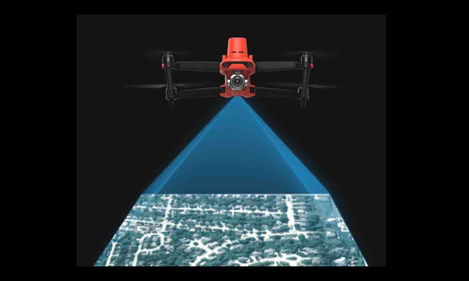
Unleashing the Potential: 3D Mapping and Modeling of Ancient Buildings with Autel Drones

Ancient buildings hold immense cultural value as symbols of history and heritage. Preserving and restoring these requires meticulous attention to detail and innovative solutions. In the realm of digital preservation, Autel Robotics offers a groundbreaking approach using drones for 3D mapping and modeling.
By harnessing the power of Autel drones and our leading software suite, Autel Mapper, we can unlock the true potential of ancient building conservation and exploration. Let’s take a look at how drones can help preserve ancient buildings and cultural sites.
The Power of Drone Mapping and Surveying
Ancient buildings present unique challenges for traditional surveying methods, with damaged or inaccessible areas often hindering surveying or documenting attempts. Drone solutions, however, offer unparalleled advantages in cultural heritage protection.
Autel drones can access difficult and dangerous areas as they designed to be mobile, with everything a user needs, be that the remote controller or drone itself, easily carried onto any site. This proves to be an irreplaceable tool for surveying and mapping ancient buildings. Drones quickly generate precise 2D or 3D models, which can then be easily imported into software such as Autel Mapper to generate comprehensive digital models. Digitalizing this iinformation allows for teams to organize maintenance, restoration, and historical site development. This technology revolutionizes cultural relics protection, education, tourism, and related industries.
Autel Drone Mapping and Surveying Solution Configuration
Autel Mapper takes center stage as the premier solution for surveying and mapping ancient buildings. Autel drones are equipped with remarkable features, such as extended battery life, versatile aerial survey loads, and remarkable portability. These drones offer a seamless integration of industry-level technology, including high-precision aerial survey UAVs, multi-purpose aerial survey loads, and industry-level lidar loads. Complemented by Autel Mapper's software, users can effortlessly plan autonomous routes, capture aerial photographs, and reconstruct comprehensive 2D and 3D models. Autel Mapper provides a one-stop solution to enhance aerial surveys across diverse industries, effectively transforming real-world scenarios into valuable digital assets.
Proximity Photogrammetry and Close-to-Photography Technology
Proximity photogrammetry, a fundamental concept in drone mapping and surveying, plays a pivotal role in capturing accurate data for ancient buildings. This technique involves collecting and processing photogrammetric data from a distance of fewer than 305 meters, resulting in high-precision 3D renderings. When surveying ancient buildings, close-to-photography technology is employed to create initial rough models, which serve as the foundation for planning refined routes. By carefully capturing images, surveying and mapping processing software facilitates cluster reconstruction, producing detailed and comprehensive digital archives.
Wrapping Up
Autel Robotics revolutionizes the preservation and exploration of ancient buildings through the power of drone technology and Autel Mapper. By utilizing Autel drones, professionals can efficiently map and model ancient buildings, capturing their intricate details and preserving their essence for future generations.
Autel Mapper's comprehensive software suite enhances the entire workflow, from autonomous route planning to the creation of high-resolution 3D models. Join us in embracing drone technology to safeguard architectural treasures.
Article by Autel Robotics all rights reserved.
