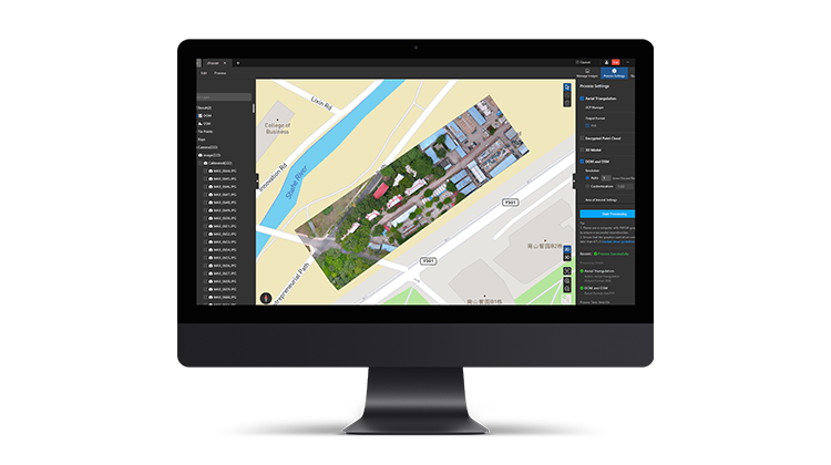

Professional, efficient, and accessible mapping. Autel Mapper is a 2D and 3D reconstruction software with cloud or local processing, utilizing deep learning for highly accurate results.
Swift and Accurate
Autel's AI deep-learning algorithms make Autel Mapper the one of the quickest map processing software in the industry, providing highly accurate 2D and 3D reconstruction, even for small objects - for unbeatable models and maps.
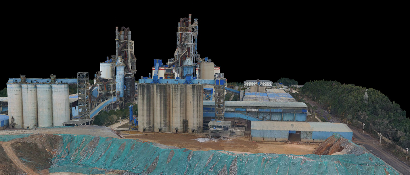
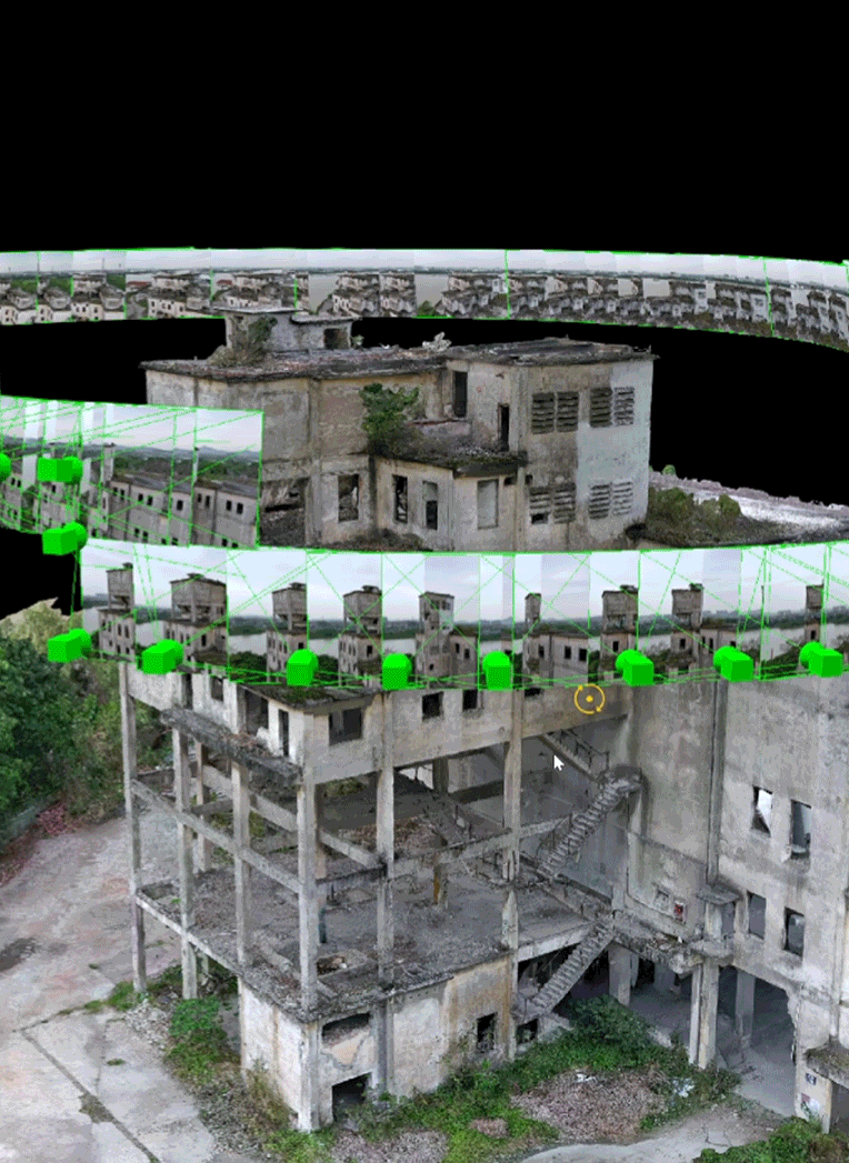
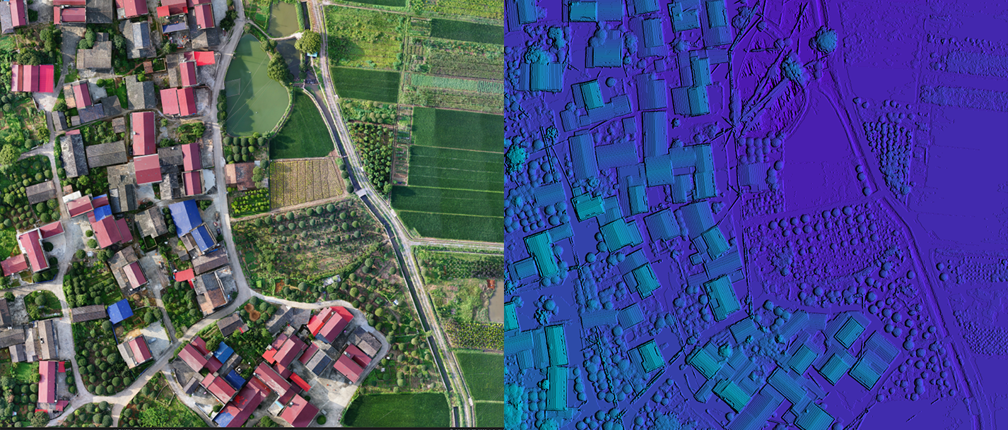
3D Reconstruction
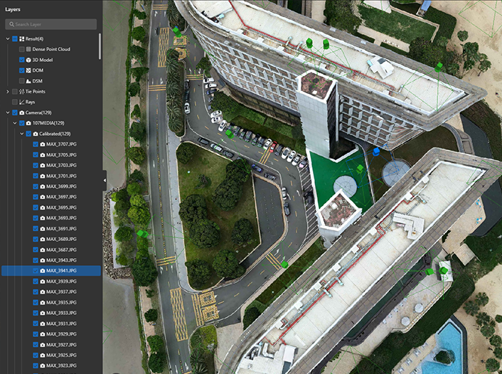
Autel Mapper combines traditional and deep learning algorithms to greatly improve the completeness of 3D models. Reconstruction quality can be selected from three options: high, medium, and low. It can reconstruct small objects completely and meet the needs of various industries.
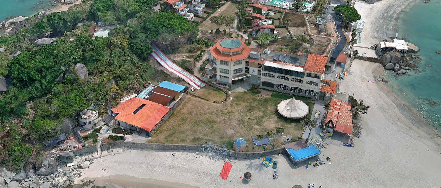
2D Reconstruction
Autel's deep learning technology enables autonomous adaptation of AI algorithms in different scenarios, meeting the 1:500 precision requirement in the surveying and mapping industry without GCPs.
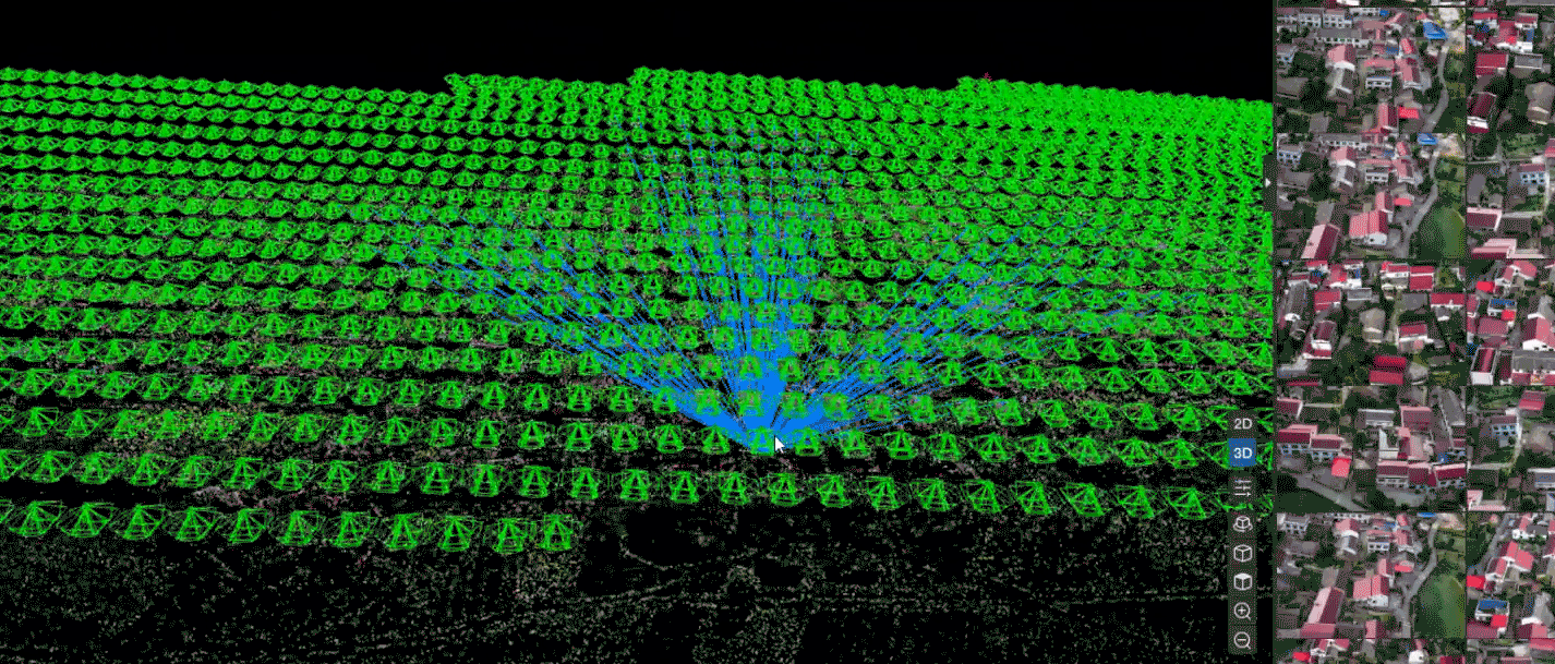
Aerial Triangulation
Autel Mapper supports both roll shutter cameras and global shutter cameras, and its intelligent block processing of aerial triangulation can handle large data volumes. The advanced matching algorithm can effectively solve the data processing of different heights and resolutions.
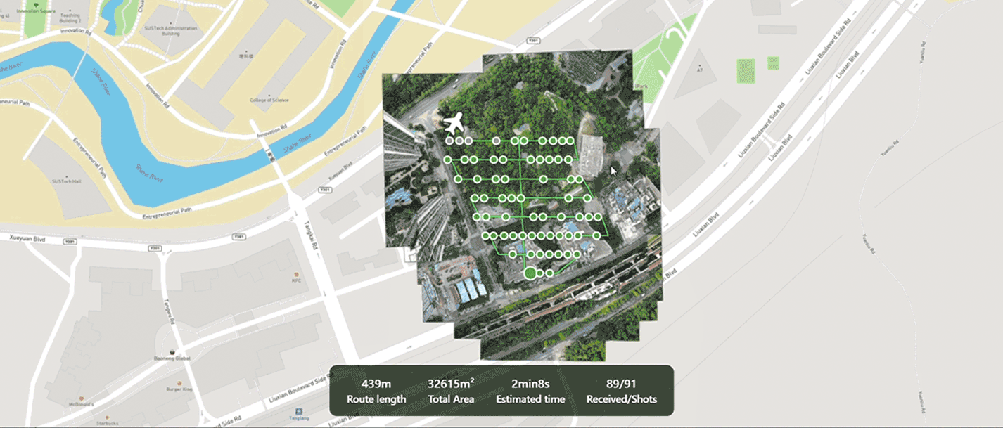
Real-time 2D
During flight, the remote controller streams real-time images to Autel Mapper for real-time 2D stitching. Advanced image processing algorithms are used to generate high-precision 2D orthophoto images in real time, providing the on-site operators with a basis for adjusting the workflow in a timely manner.
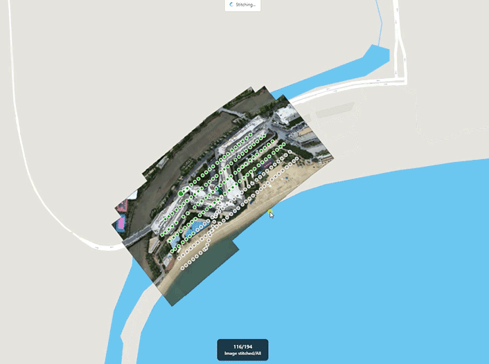
Quick Stitching
Batch import images taken by Autel drones, quickly generate 2D maps and renderings using advanced image orthorectification algorithms and fast stitching algorithms.
Flexible, Scalable
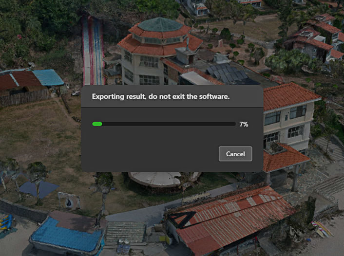
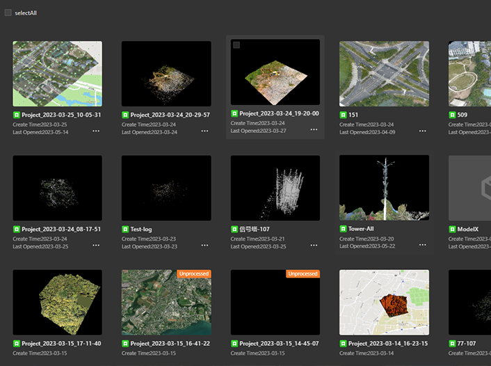
Import and export with ease, and utilize networking or cloud features for fast handling of any project.
Complete Control
Autel Mapper's unique, intuitive workflow means users can quickly get immersed in a project without the fear of being overwhelmed.
Cloud Ready
Utilize the cloud for faster output and renders than ever before.
Applications
-
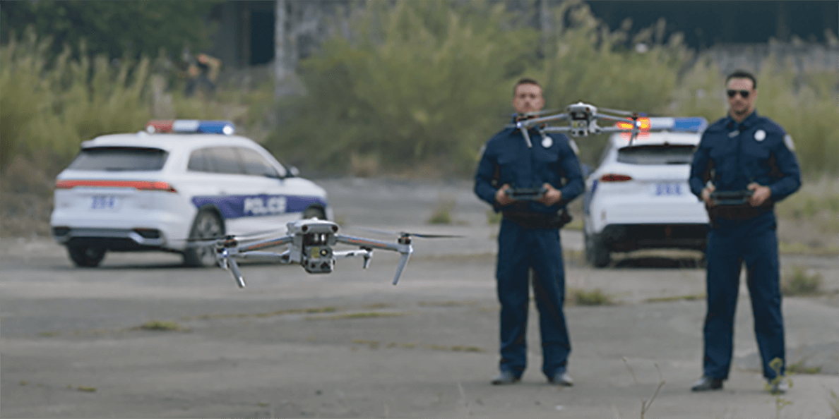
Public Safety
-
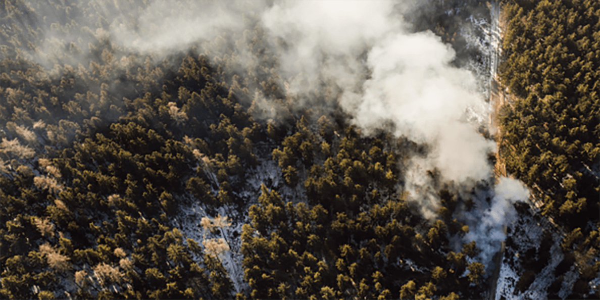
Search And Rescue
-
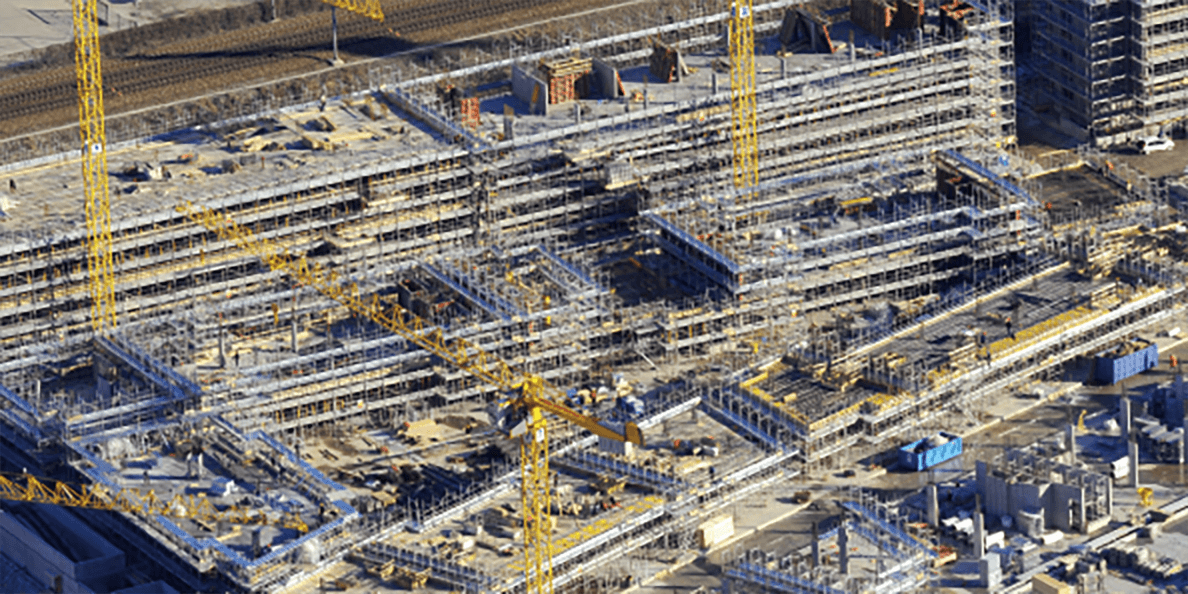
Surveying And Mapping
-
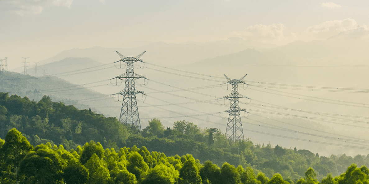
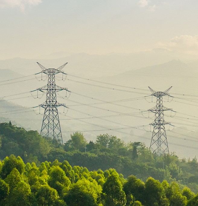
Powerline Inspection
-
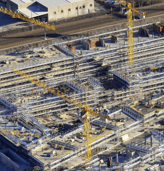
Surveying And Mapping
-
Powerline Inspection