页头菜单配置【勿删】

  • Register
Shop

Autel Mapper

  • Overview
  • Technical Specifications
  • Buy Now
  • Download
  • Video
  • FAQ

Autel Mapper

Reveal The Full Picture.

Buy Now

Professional, efficient, and accessible mapping. Autel Mapper is a 2D and 3D reconstruction software with cloud or local processing, utilizing deep learning for highly accurate results.

Swift and Accurate

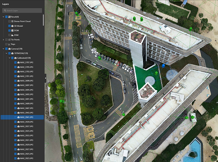
Autel's AI deep-learning algorithms make Autel Mapper the one of the quickest map processing software in the industry, providing highly accurate 2D and 3D reconstruction, even for small objects - for unbeatable models and maps.

3D Reconstruction

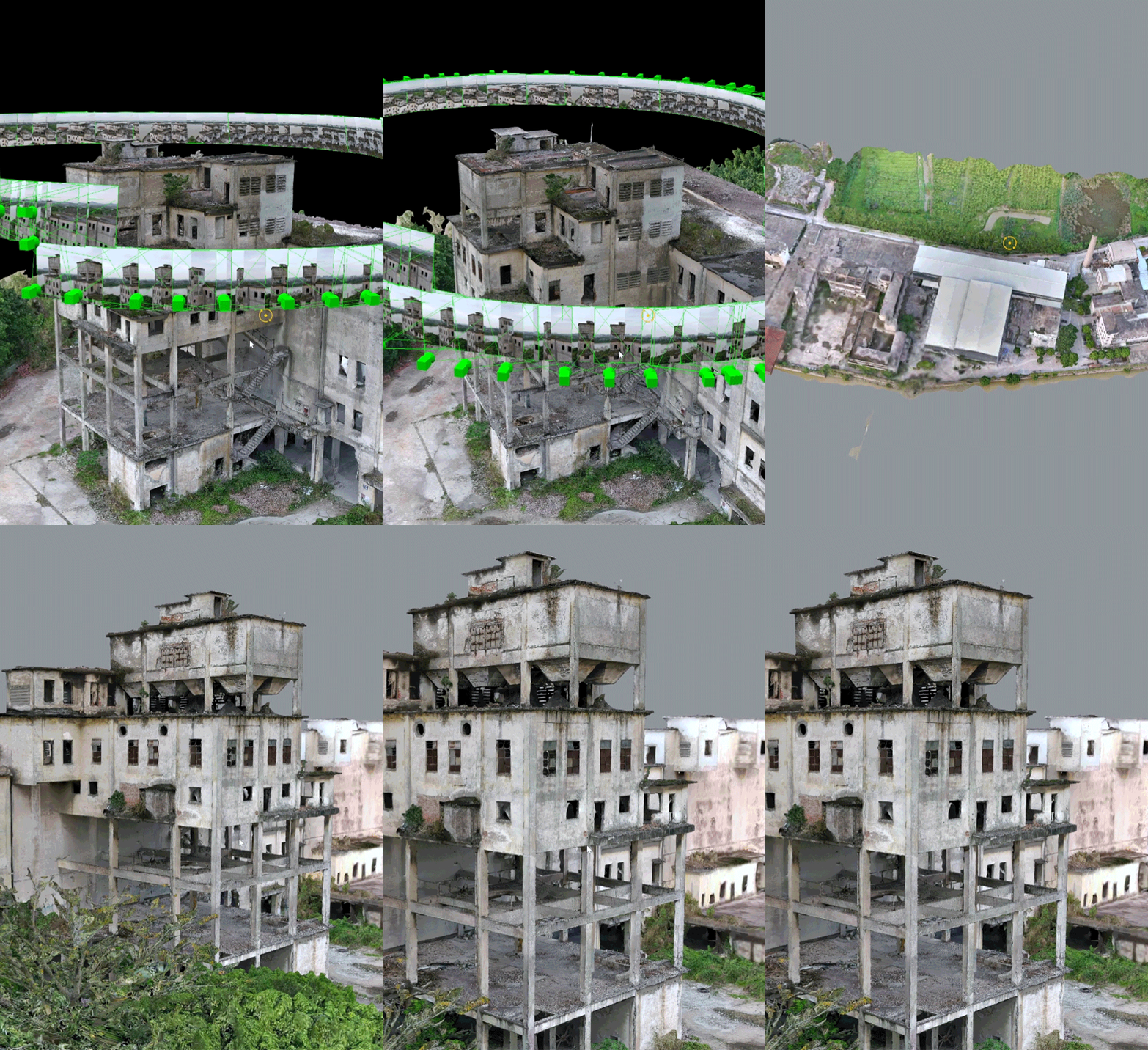
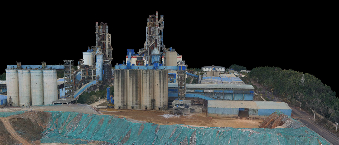
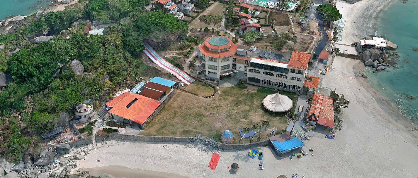
Autel Mapper combines traditional and deep learning algorithms to greatly improve the completeness of 3D models. Reconstruction quality can be selected from three options: high, medium, and low. It can reconstruct small objects completely and meet the needs of various industries.
2D Reconstruction

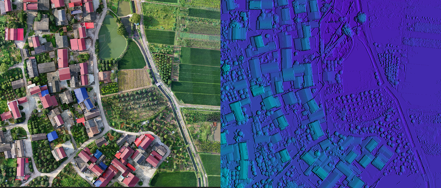
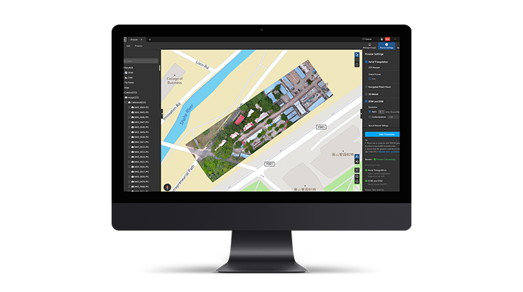
Autel's deep learning technology enables autonomous adaptation of AI algorithms in different scenarios, meeting the 1:500 precision requirement in the surveying and mapping industry without GCPs.

Aerial Triangulation

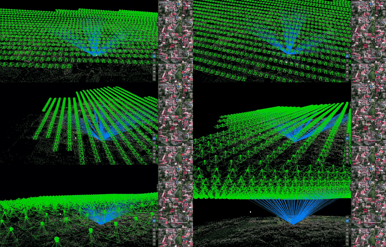
Autel Mapper supports both roll shutter cameras and global shutter cameras, and its intelligent block processing of aerial triangulation can handle large data volumes. The advanced matching algorithm can effectively solve the data processing of different heights and resolutions.

Real-time 2D

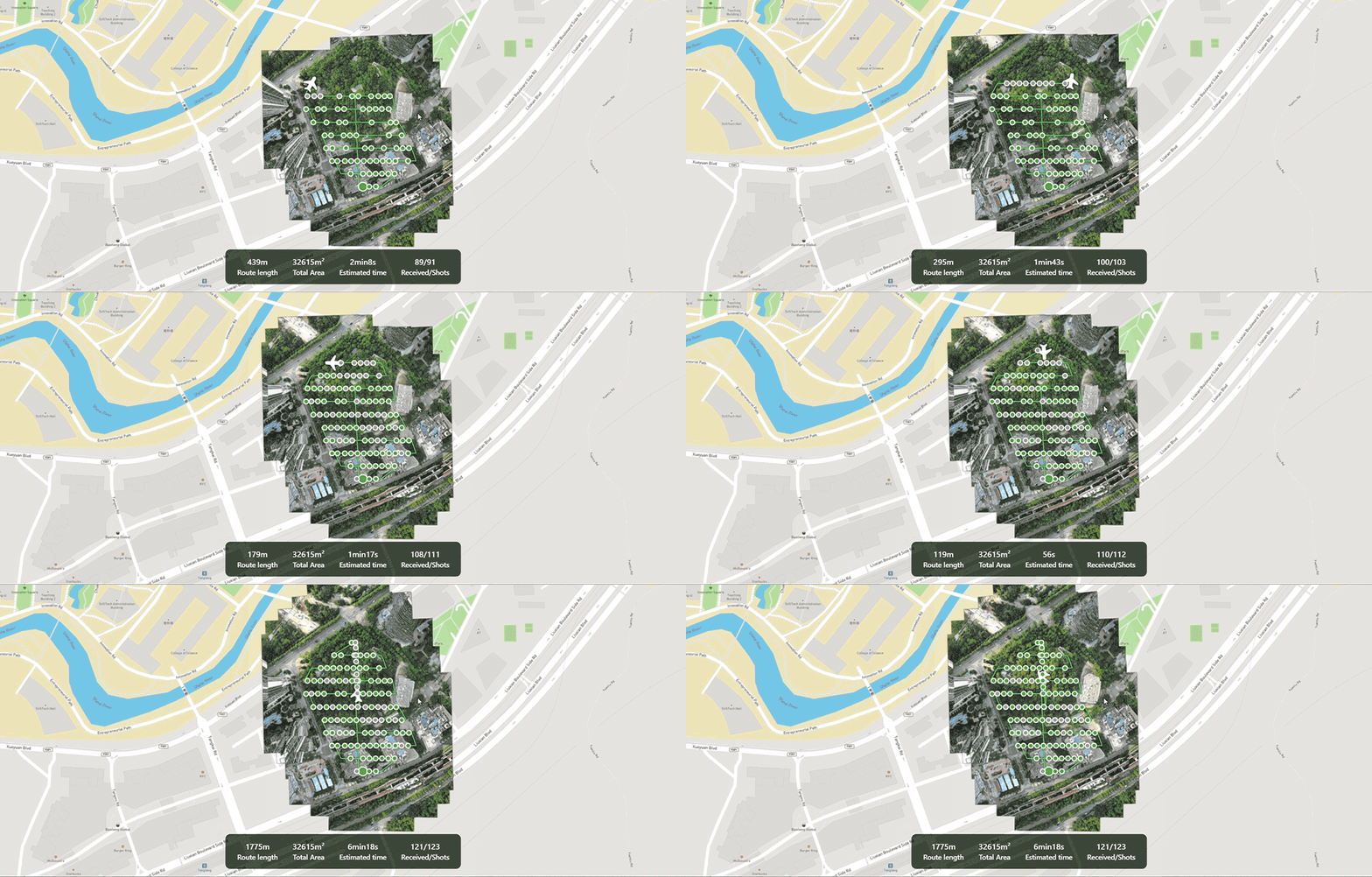
During flight, the remote controller streams real-time images to Autel Mapper for real-time 2D stitching. Advanced image processing algorithms are used to generate high-precision 2D orthophoto images in real time, providing the on-site operators with a basis for adjusting the workflow in a timely manner.

Quick Stitching

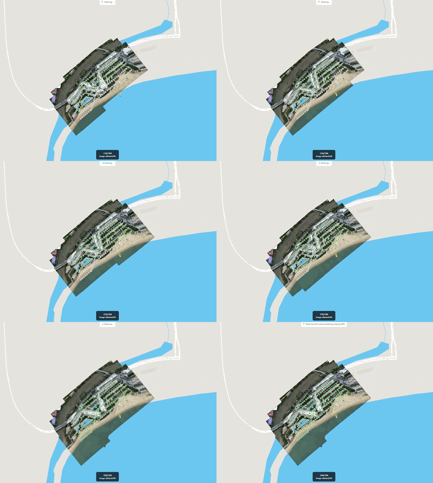
Batch import images taken by Autel drones, quickly generate 2D maps and renderings using advanced image orthorectification algorithms and fast stitching algorithms.

Flexible, Scalable

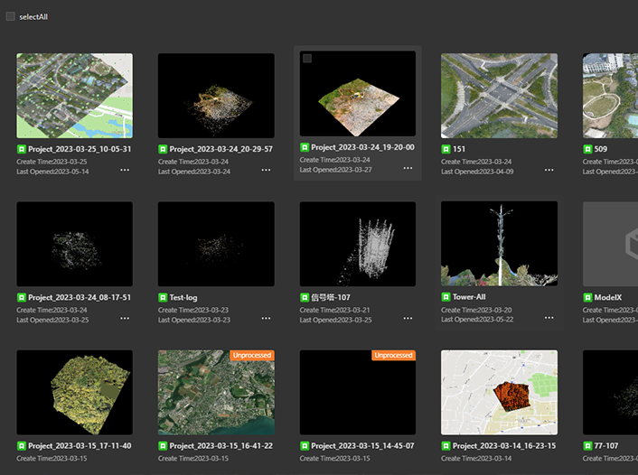
Import and export with ease, and utilize networking or cloud features for fast handling of any project.

Complete Control

Autel Mapper's unique, intuitive workflow means users can quickly get immersed in a project without the fear of being overwhelmed.

Cloud Ready

Utilize the cloud for faster output and renders than ever before.

Applications

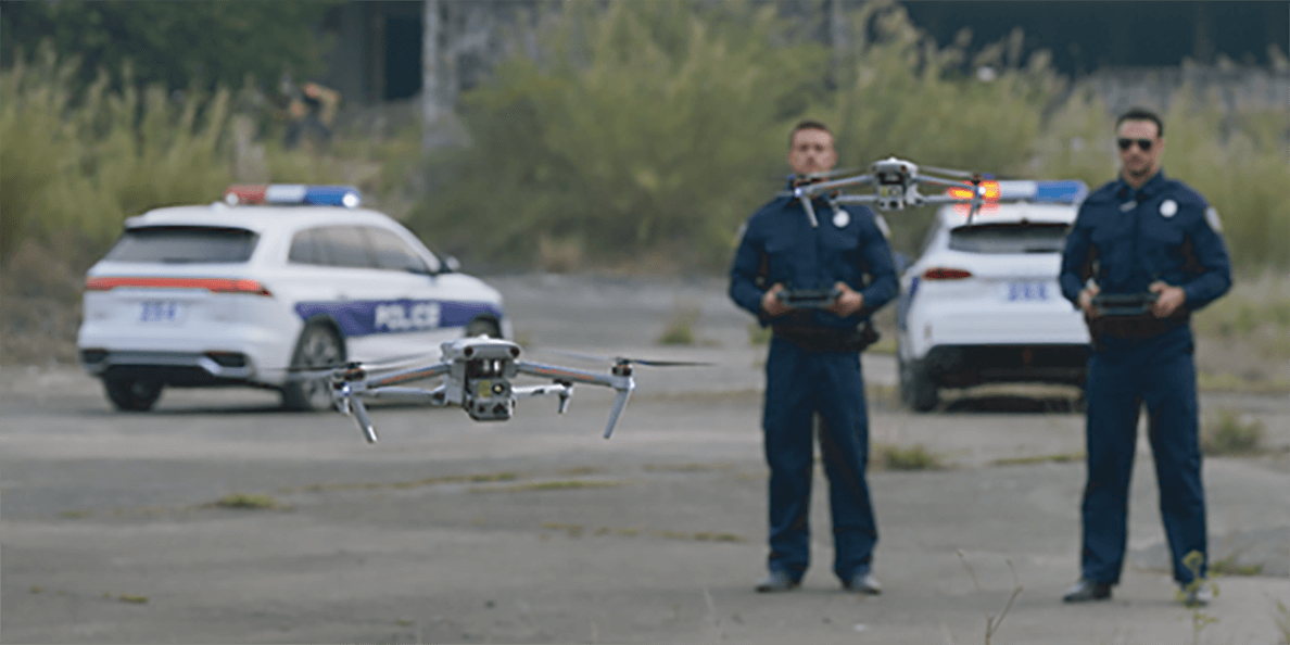
  • Public Safety

  • Search And Rescue

  • Surveying And Mapping

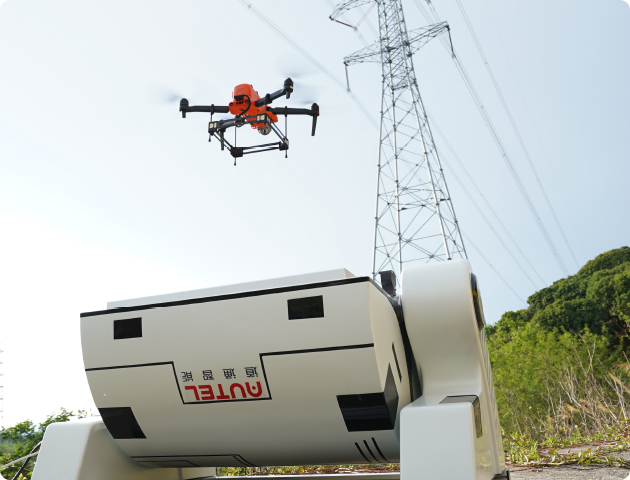
  • Powerline Inspection
  • Surveying And Mapping

  • Powerline Inspection
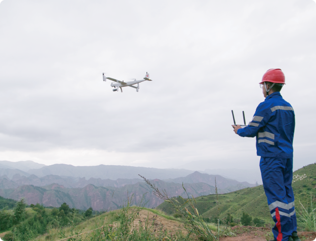
Autel Integrated Command System

Autel Integrated Command System

Autel Integrated Command System

Experience Complete Control

Workflow Optimization

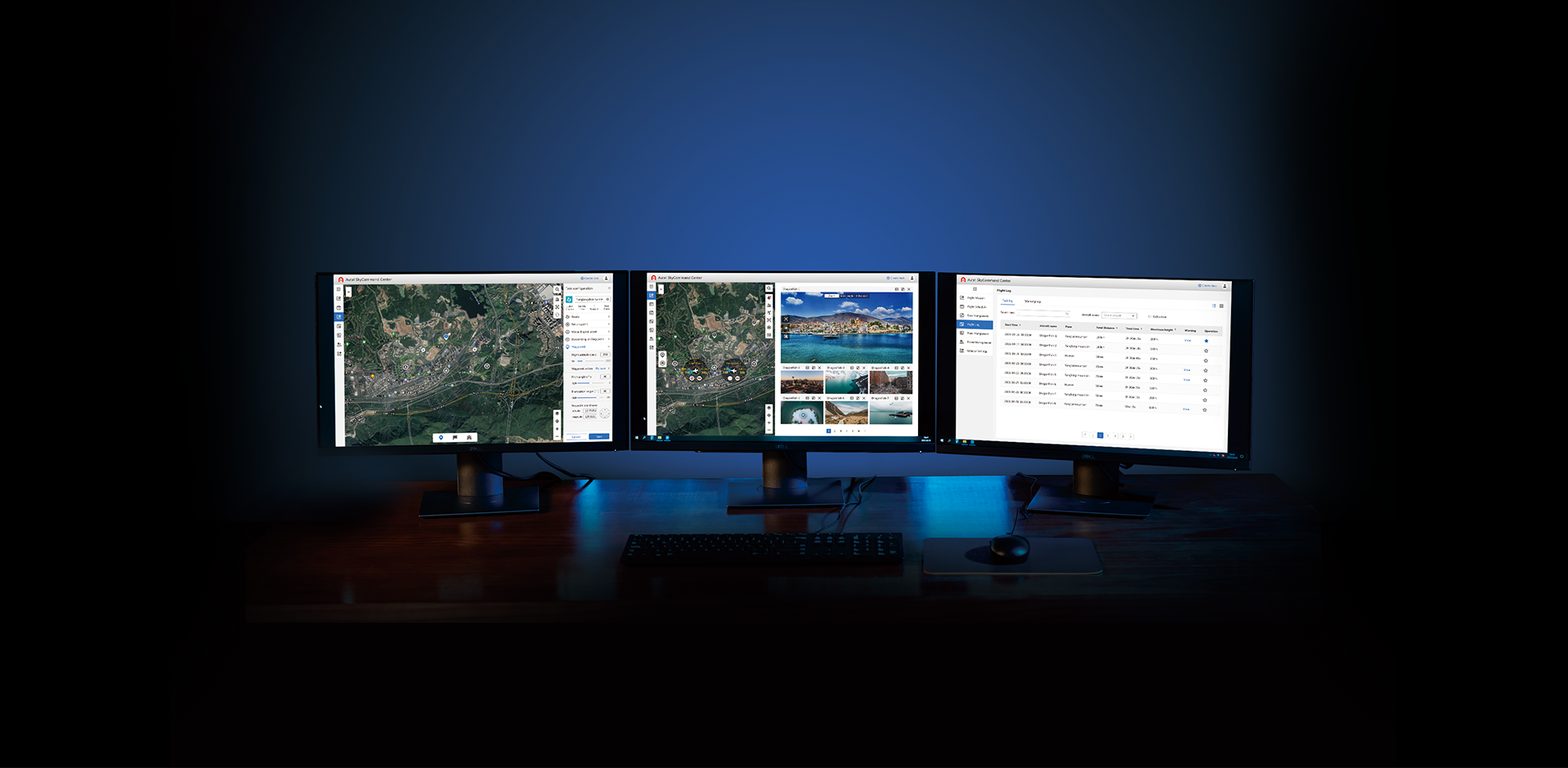
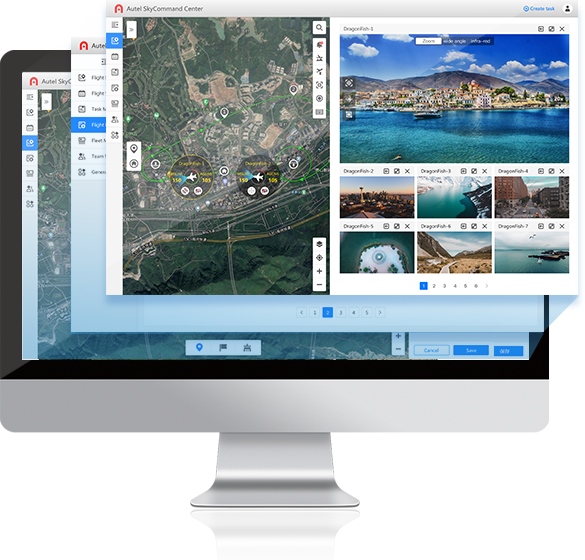
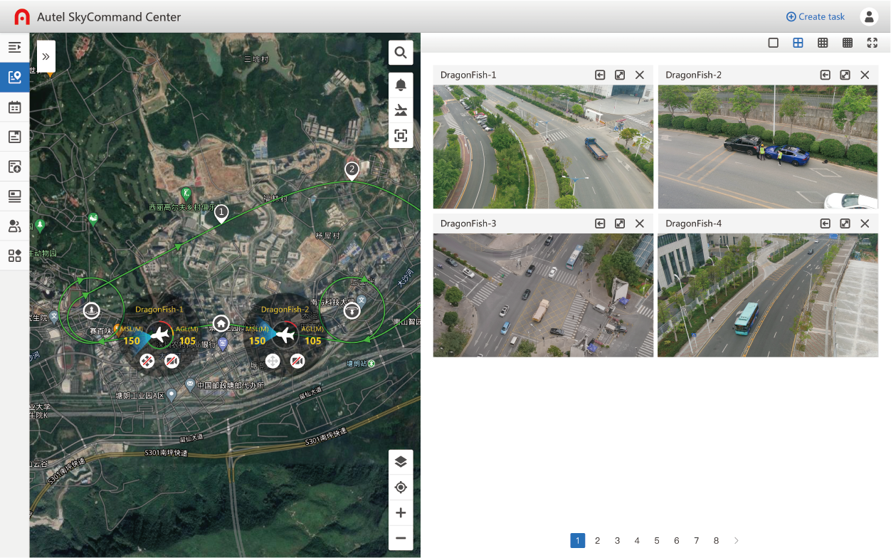
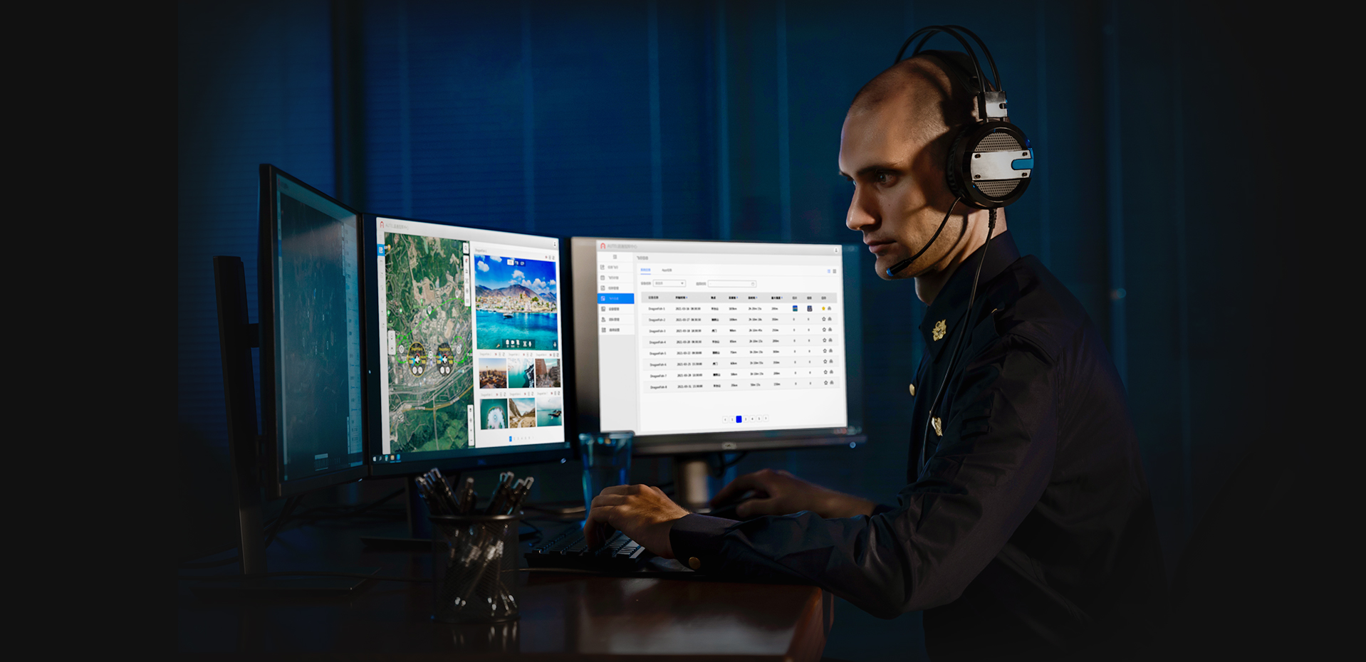
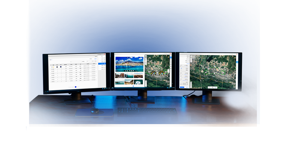
The Autel Integrated Command System is a flight control platform that enables users to manage tasks, equipment, mission roles for their drones through a computer or mobile device. Using the platform, remote operators can monitor live video in real time or schedule missions in clusters and access the recorded flight data at their convenience.

  • Task Management

    Mission Planning: Plan routes and assign missions.
    Realtime Transmission: View video feed and flight data remotely in real time.
    Remote Control: Control drone and camera remotely from the command center.
    Data Storage: Save and manage flight mission settings, flight logs, and other data.

  • Account Management

    Role Management: Create teams and assign roles such as administrator or pilot.
    Authority Management: Distribute operation permissions based on assigned roles.

  • Device Management

    UAV Management: Display usage time and maintenance progress for each aircraft and battery.
    Firmware Management: Upgrade and manage firmware all in one place.

Multi-channel Live Broadcast

The Autel Integrated Command System can support up to 32 live broadcasts at the same time, and it only takes 200 milliseconds for the drone to transmit live feed at 1080p, significantly outperforming competing products with delays of 8-10 seconds.

Remote Real-time Control

Users can remotely control the aircraft to suspend and return the flight. The camera's angle, zoom, and other parameters can also be set to perform shooting operations.

Cross-model Adaptation

The Autel Integrated Command System supports both multi-rotor and fixed-wing models, including: EVO II series, EVO II RTK series, EVO II Enterprise, Dragonfish series. Among them, multi-rotor models need to be equipped with the EVO Nest to perform tasks.

Flight Data Management

  • Equipment Maintenance

    Users can log onto the platform to check the usage of each aircraft, hangar, and battery, allowing them to replace and maintain equipment in a timely manner.

  • Cloud Access

    Autel Robotics provides two ways for users to deploy Autel Integrated Command System: Secure Cloud stores flight logs on a stable AWS server, while Private Cloud stores them on the user's local server.

Principle

Operators log into the Autel Integrated Command System to create a task. After the task is sent to the pilot or the EVO Nest, the drone will perform the flight task and synchronize the live screen and flight data to the SkyCommand Center.

  • EVO II Series

  • -
  • EVO Nest

  • -
  • Dragonfish Series

  • -
  • Pilot

  • -

Autel Integrated Command System

  • 01.png

    EVO II Series

  • -
  • 02.png

    EVO Nest

  • -
  • Autel Integrated Command System

  • 03.png

    Dragonfish Series

  • -
  • Pilot

  • -
  • Autel Integrated Command System