

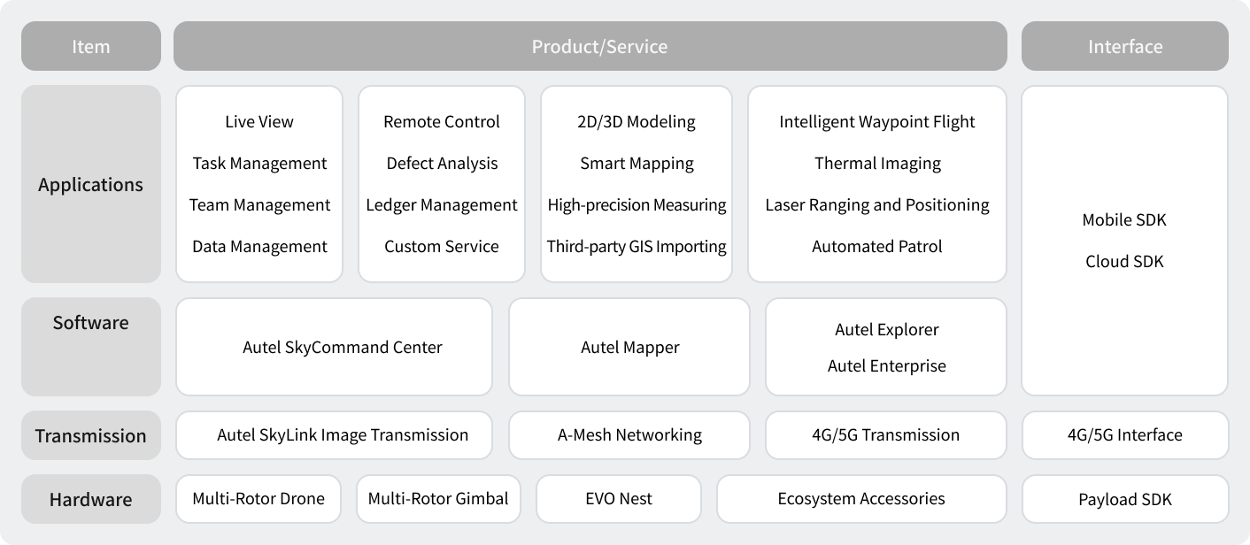
Engineering, Surveying And Construction
Elevate and strengthen construction supervision and planning, and measure in real-time
Engineering, Surveying And Construction
Elevate and strengthen construction supervision and planning, and measure in real-time
Overview
As we enter 2023, the US construction industry is expected to see a continued boom, with demand backed by urban development and a push for growth. Quality control, therefore, has become a top priority for the entire industry. Drones equipped with visible light and thermal imaging can be used throughout entire project cycles, from survey and design in the early stages, to construction management in the middle stages, and finally to inspection and maintenance after delivery of a project. Utilizing the mobility and efficiency of drones to provide all-round supervision benefits engineers through increased awareness and service capabilities, helping them stay competitive in the international market and ensuring engineering industry continues to innovate and push forward.
Pain Points

Limited Results
Traditional surveying and mapping results are limited to line drawings, and cannot provide visual models for acceptance or results display.

Data Acquisition Challenges
In urban locations specifically with buildings and constant obstructions, it is near impossible to provide a safe and controllable flight path to collect building facade data, and it is difficult to do defect analysis on materials such as glass.

Lacking Supervision
With particularly lengthy projects, construction often lacks effective monitoring methods. Conventional video also has some limitations in managing large amounts of data, making it difficult to obtain and retain effective key information on a project or its status.

Difficult To Measure Earthwork
During the construction process, earthwork volume is notoriously difficult to calculate,measurement efficiency is low, and the personnel investment is large.
Solution
Business Value
-
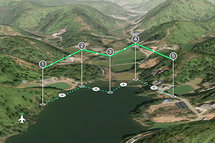
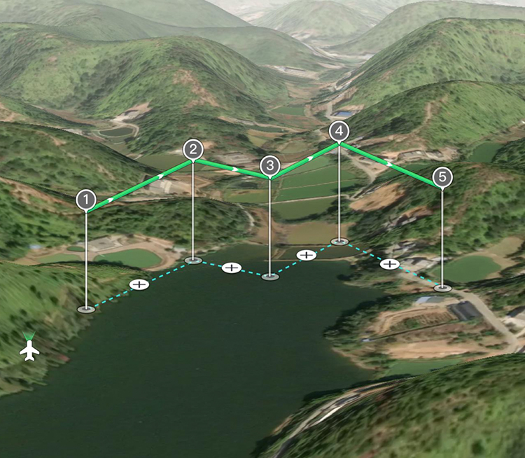
Intelligent Route Planning
Aircraft can be controlled flexibly, and can provide route simulation functions and facade route planning for single and multiple three-dimensional buildings, effectively improving collection efficiency, flight safety and mold release quality.
-

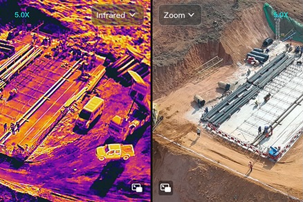
Active Calculation And Analysis
The dual-light camera can collect visible light and infrared photos at the same time, providing infrared data analysis basis for project management and construction processes. Infrared results can be used for defect analysis, and visible light results can be used for engineering supervision and earthwork calculation.
-


Easy Cloud Service Sharing
Project progress, project supervision photos, and project acceptance results can all be shared by multiple terminals and users based on cloud services.
Recommended Autel Products
EVO II Dual 640T RTK V3
Centimeter-Level & High-Precision Positioning System
No GCP Required | 640*512 Thermal Camera
Learn More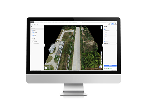
EVO II Dual 640T RTK V3
Centimeter-Level & High-Precision Positioning System
No GCP Required | 6K 1" CMOS
Learn More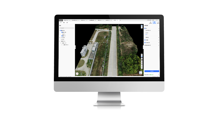
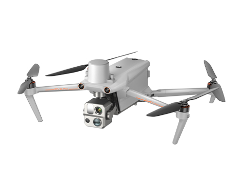
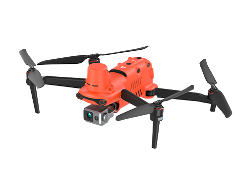
EVO Max Serie
720° Obstacle Avoidance | Non-GPS Return-to-Home
42 Mins Flight Time | Automatic Obstacle Rerouting
Learn More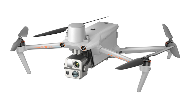
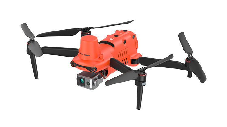
EVO Max 4T
720° Obstacle Avoidance | Non-GPS Return-to-Home
42 Mins Flight Time | Automatic Obstacle Rerouting
Learn More