Patrol and Surveillance Solution
Patrol and Surveillance Solution
Overview
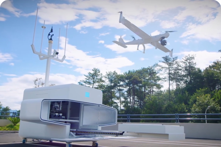
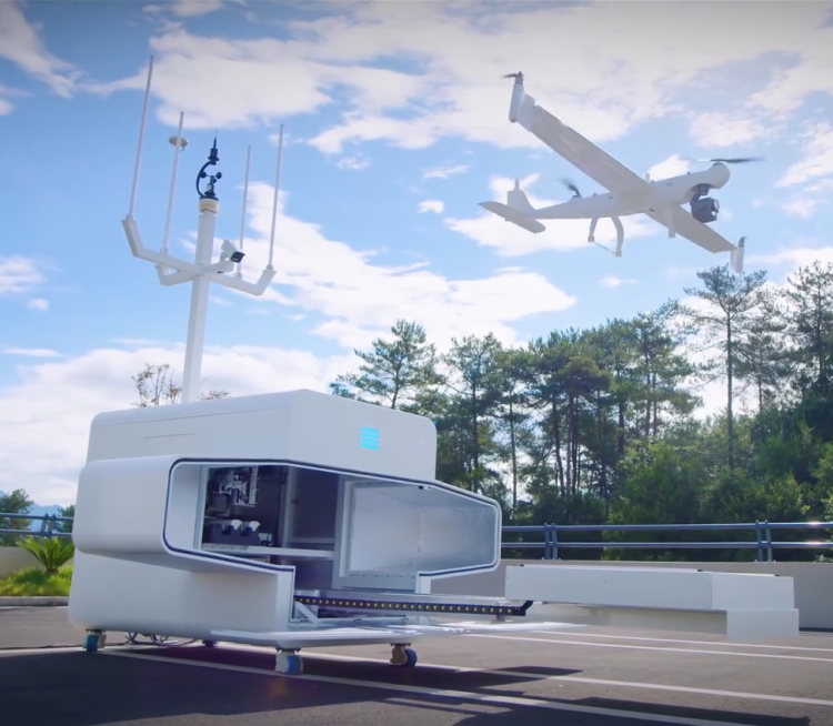
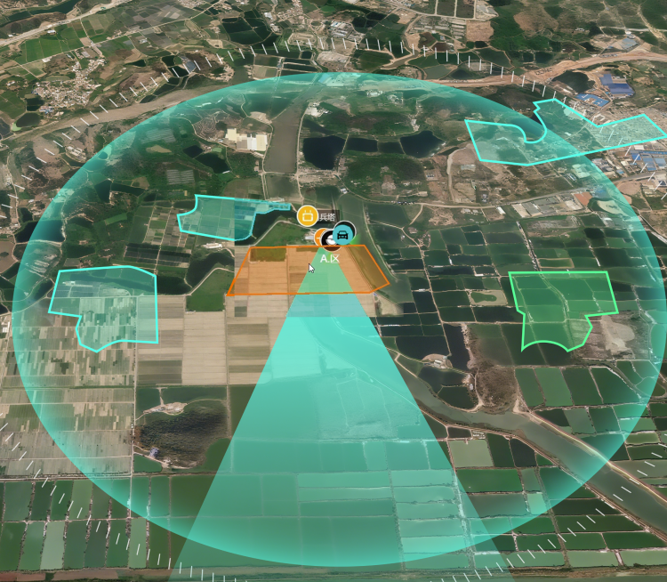
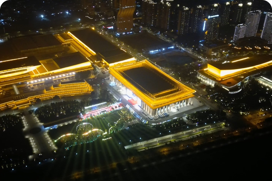
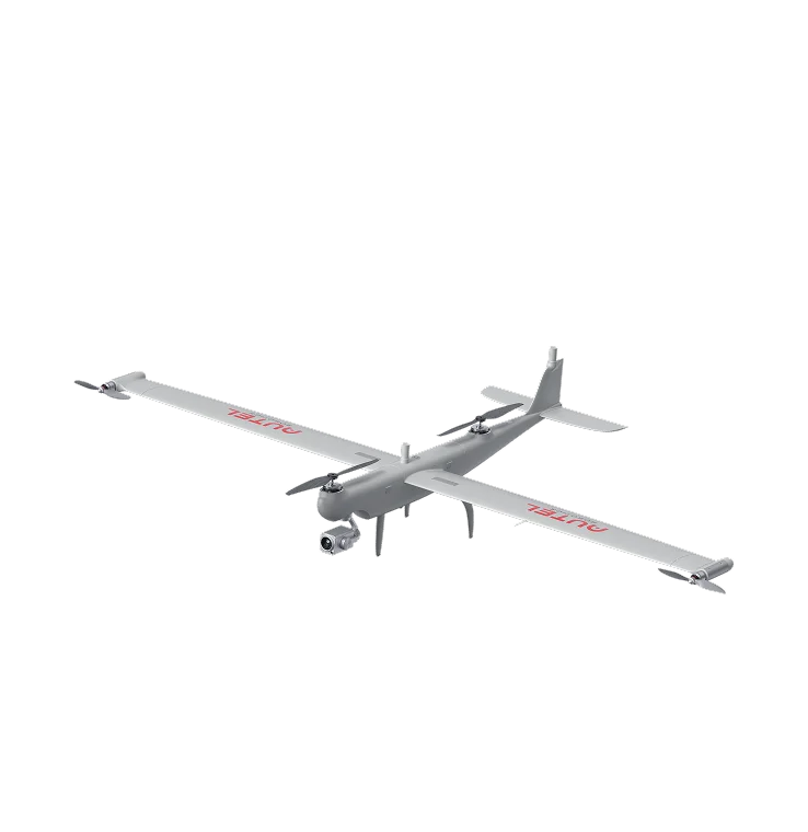
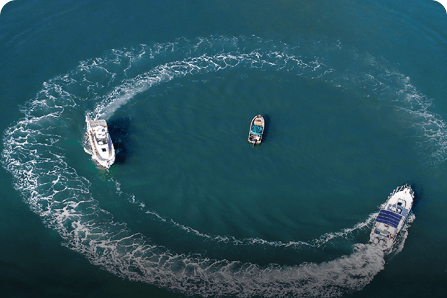
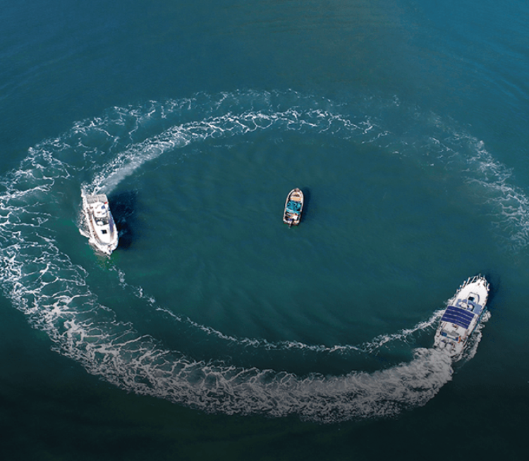
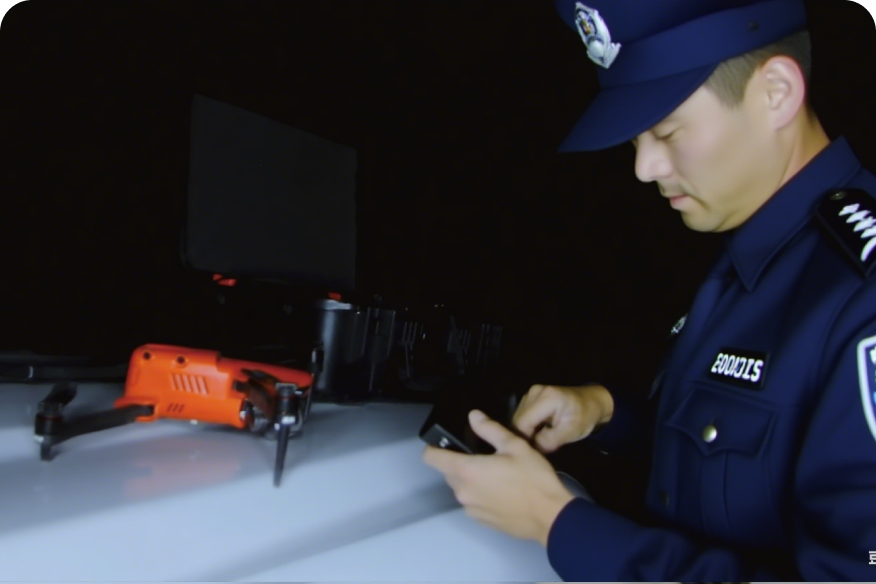
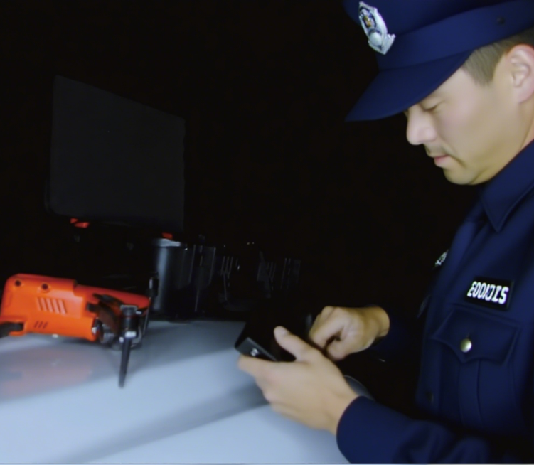
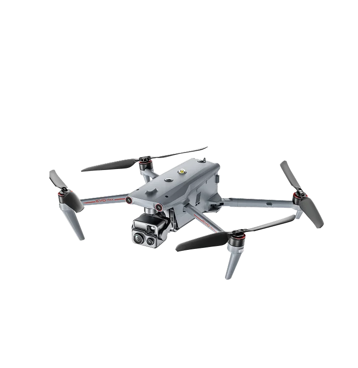
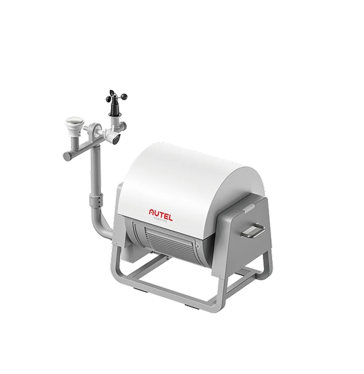
Autel Robotics Patrol and Surveillance Solution integrates multi-rotor UAVs, Nests, and the Autel Integrated Command System (AICS) to address urban public safety patrol challenges. Deployed in areas beyond the reach of fixed monitoring—such as schools, shopping centers, key road sections, and crowded outdoor venues—it enables aerial patrol coverage that enhances prevention, supervision, and rapid response, ensuring routine patrol coverage and improved public safety despite limited police manpower.
Pain Points
-

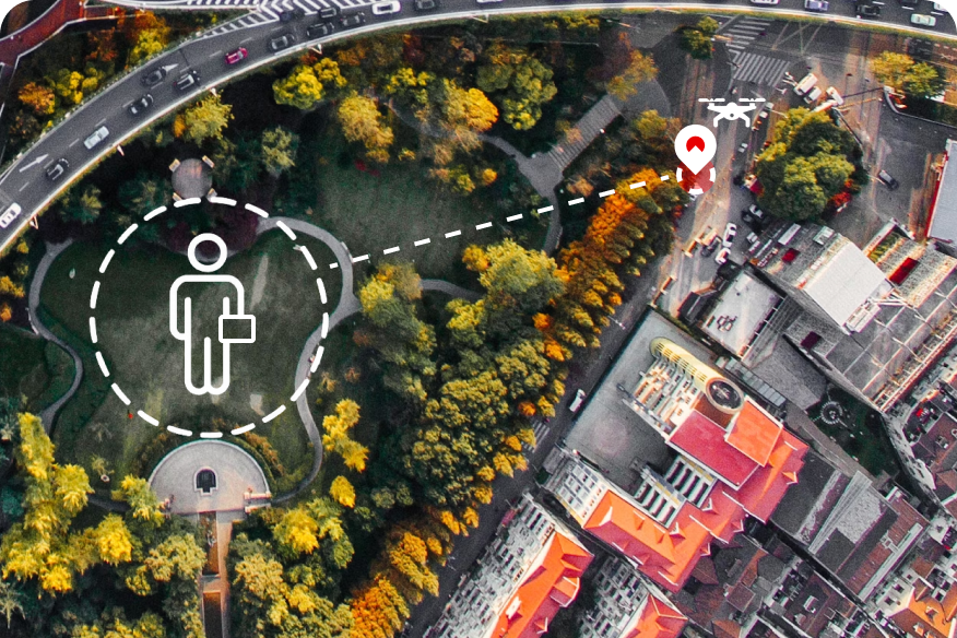
Multiple Blind Spots
Fixed cameras and patrols miss open spaces, complex terrain, and high-rises, creating security dead zones.
-

Heavy Security Burden
Risks hide in schools and major events, while traditional security struggles to cover.
-

Low Response Efficiency
Emergencies expose limits of ground response. Slow arrival and delayed info leave command a step behind.
-

Poor Environment Fit
Harsh weather and urban interference disrupt UAV flight stability and compromise data reliability.
Business Value
-
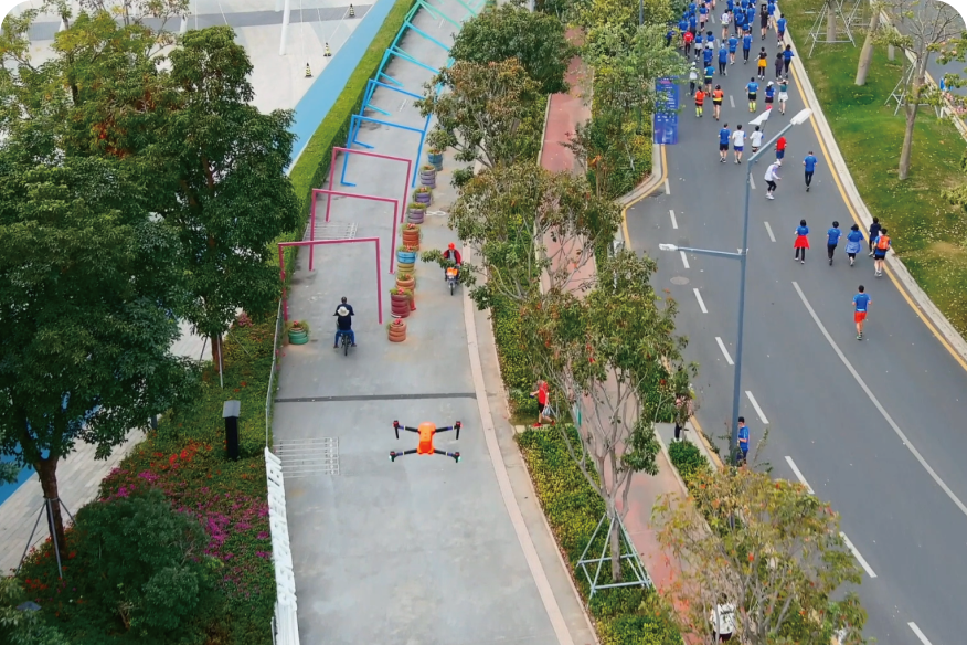
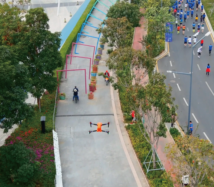
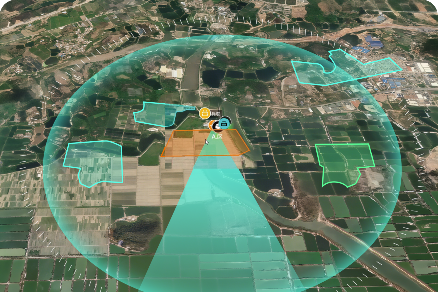
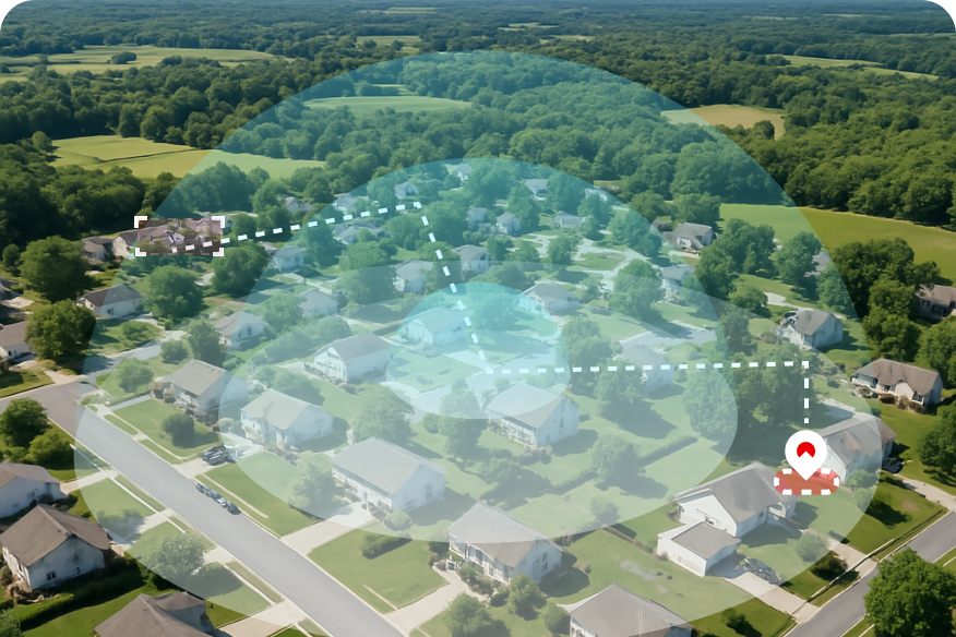
Greater Patrol Efficiency
UAVs cover more area with low views unseen by cameras or patrols. Personnel needs drop 50%, cutting costs.
-
Faster Emergency Response
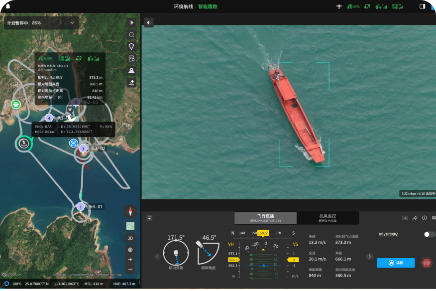
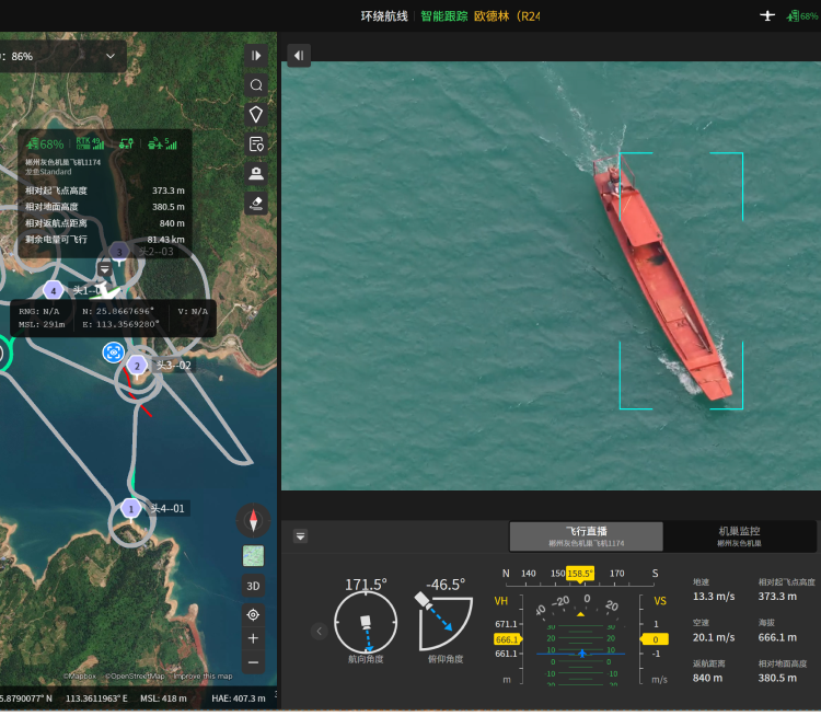
UAVs launch in 1 min, reach sites in 3. Low views help AICS make rapid, effective decisions.
-
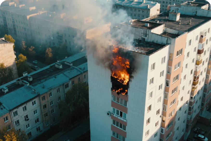
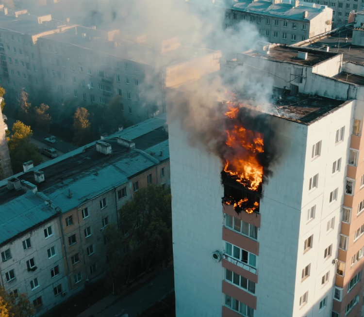
Lower Safety Risks
In fires, riots, or other hazards, UAVs replace humans in high-risk missions, protecting law enforcement.
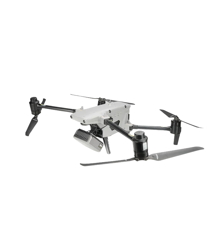
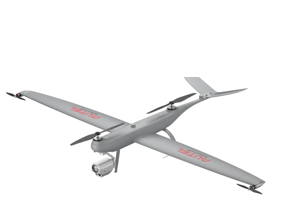
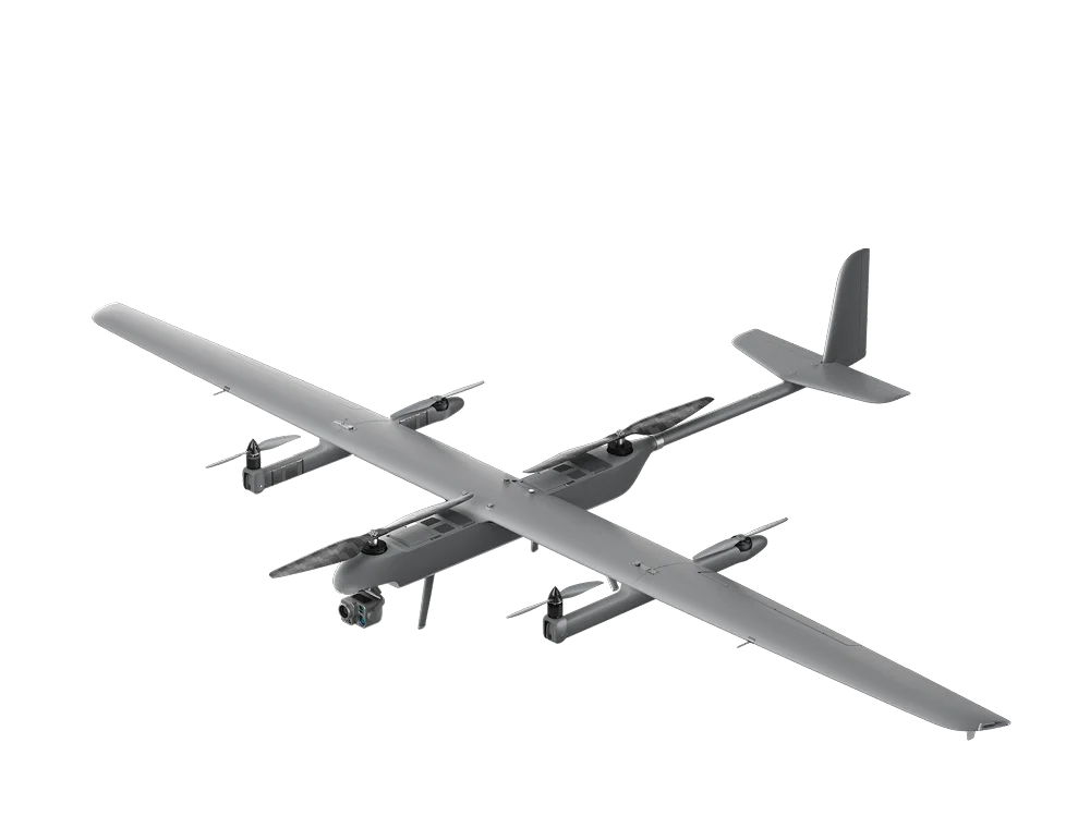
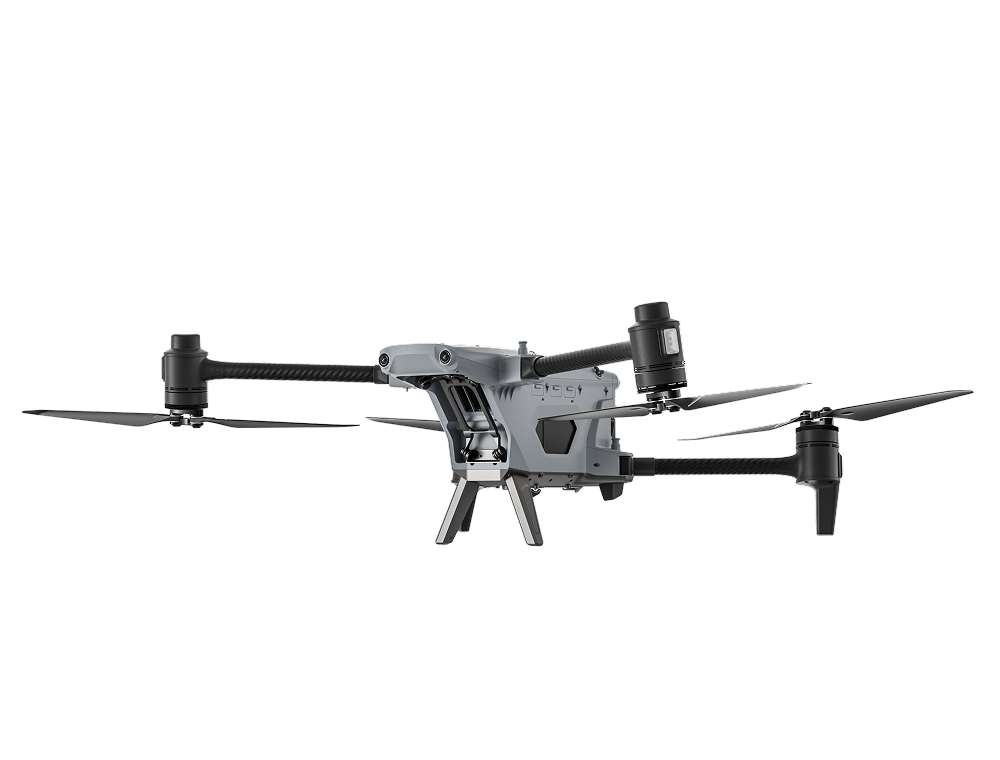
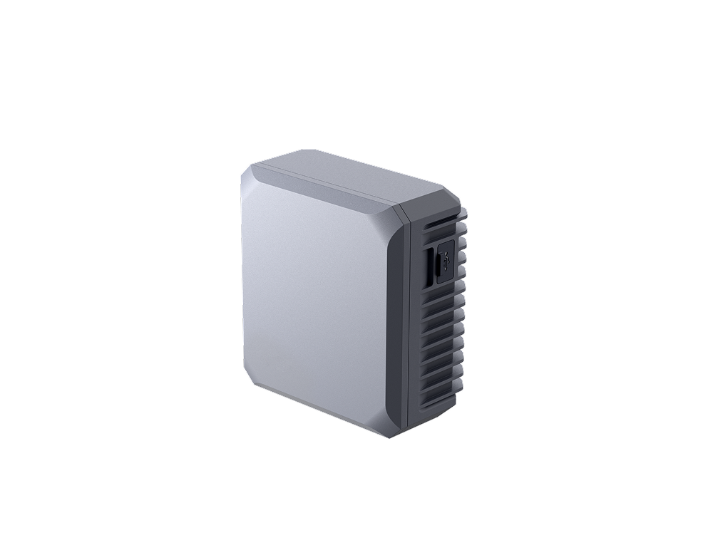
Recommended Autel Products
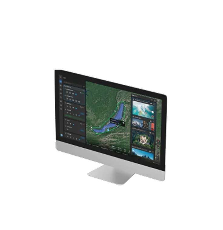
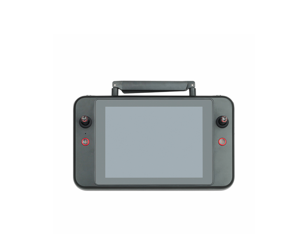
Autel Integrated Command System
Real-Time Situational Awareness
AI Target Recognition | Data Security
Learn More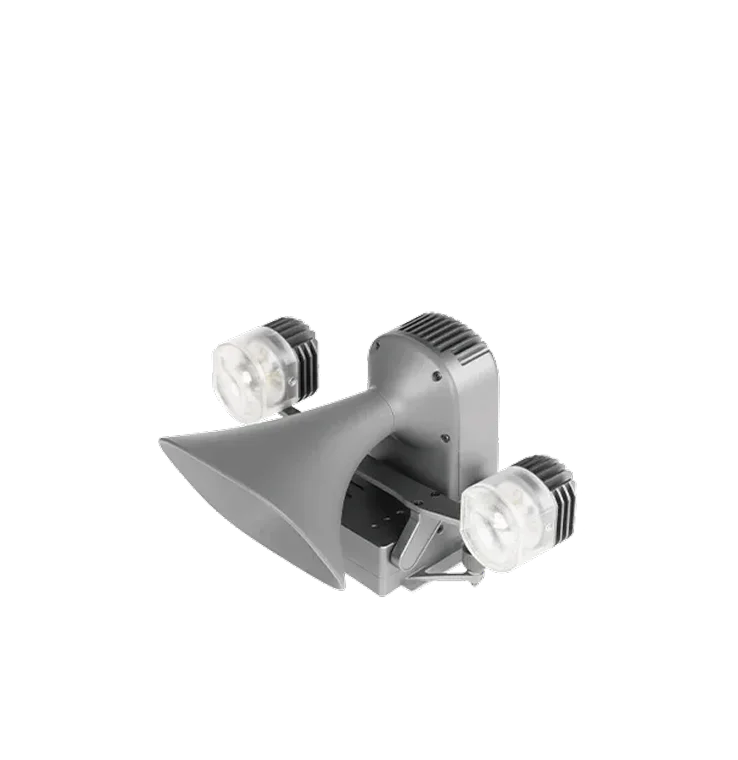
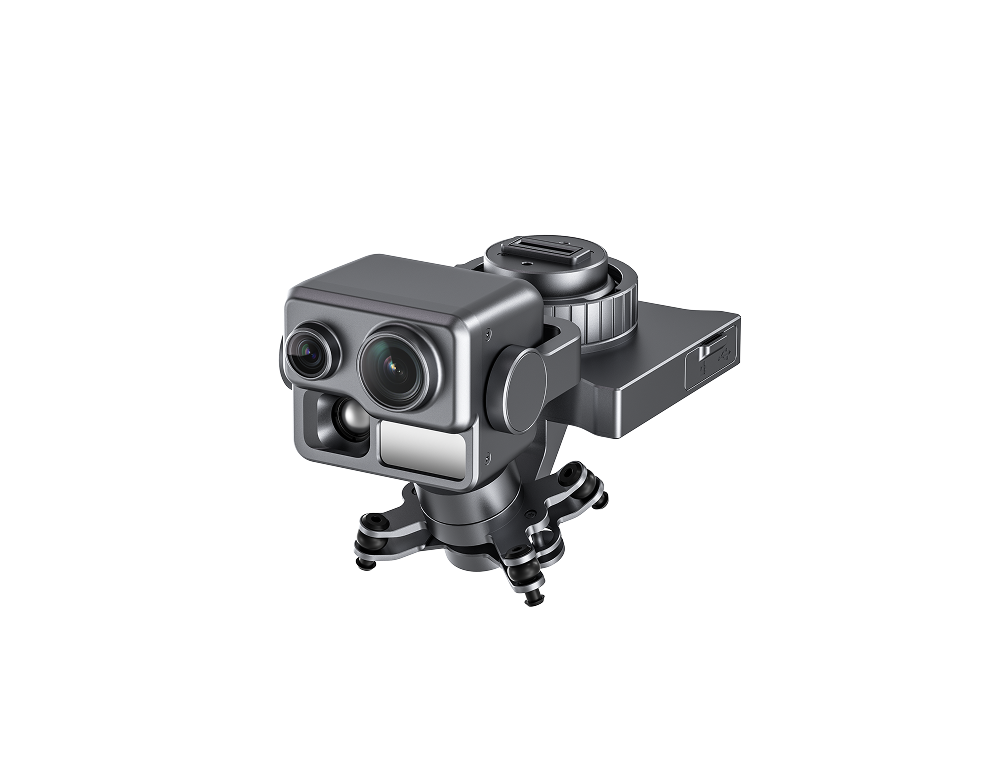
Loudspeaker & Spotlight Combo
Quick Release Mount | 150 m Lighting Distance
300 m Broadcasting Distance
Autel Integrated Command System
Real-Time Situational Awareness
AI Target Recognition | Data Security
Learn More
Loudspeaker & Spotlight Combo
Quick Release Mount | 150 m Lighting Distance
300 m Broadcasting Distance