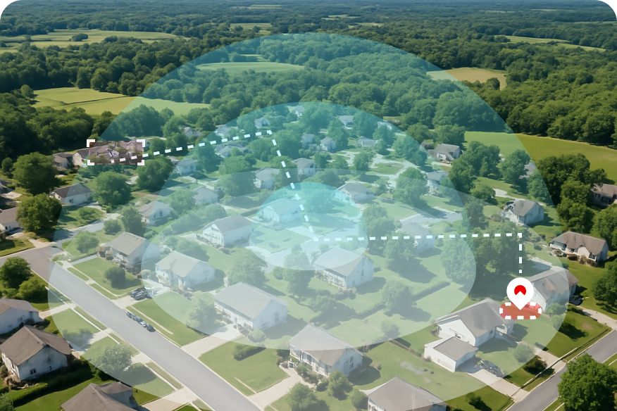
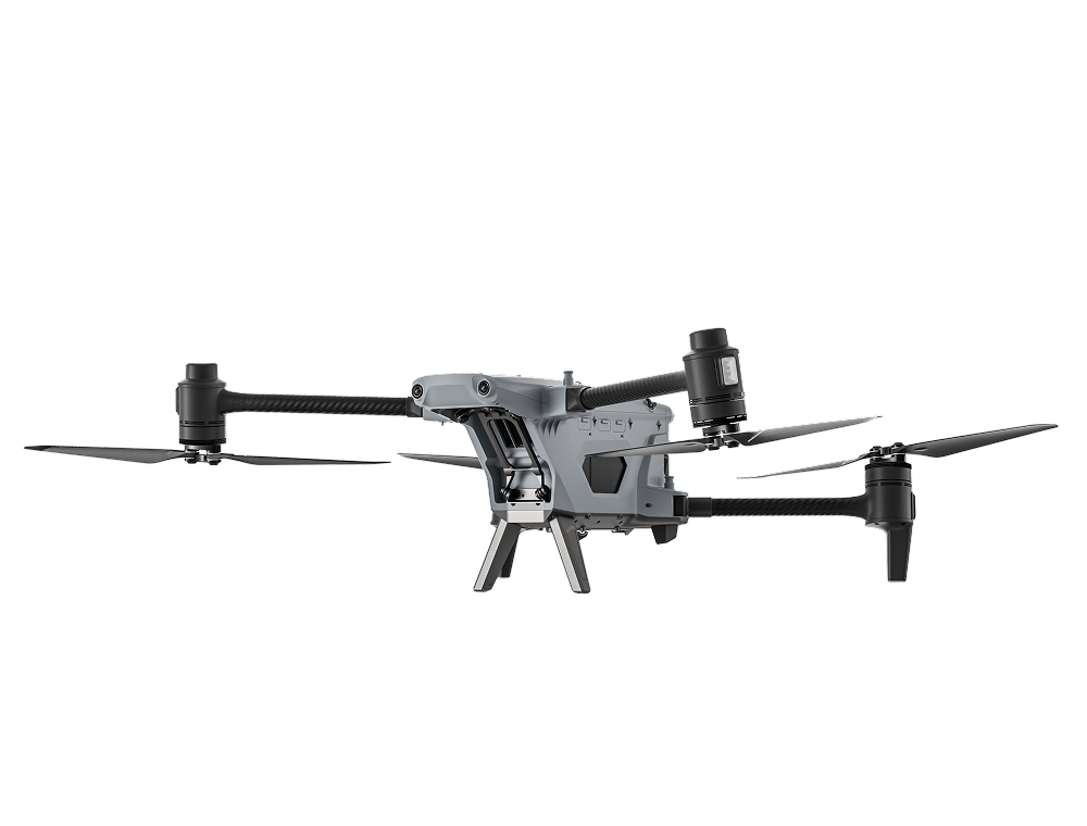
The UAV pilot positioning solution aims to address the challenge of detecting UAV pilots in scenarios
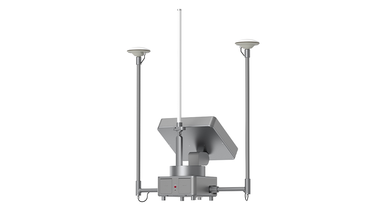
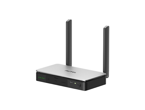
without broadcast protocols (Drone ID and Remote ID). By mounting high-precision radio direction-finding
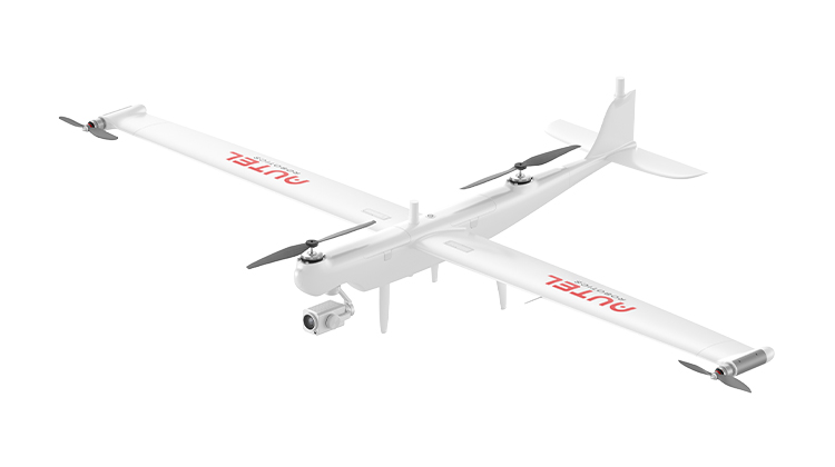
equipment on UAVs, it horizontally and vertically triangulates the target signal source (UAV controller)
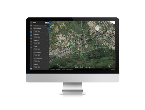
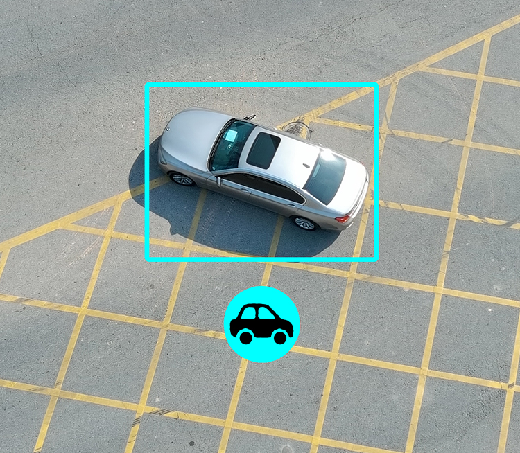
in the air, determining potential target areas and displaying them on a map. Visual searching of target
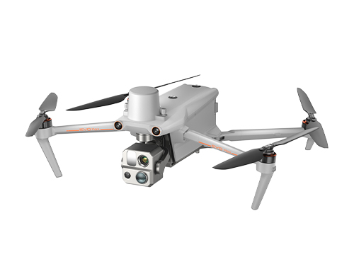
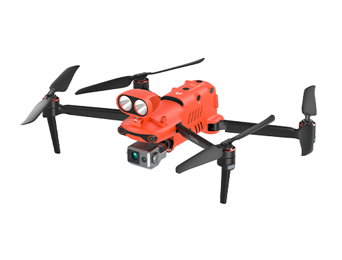
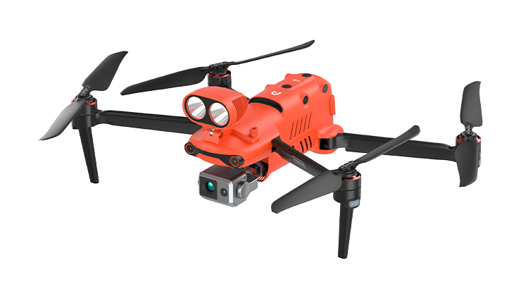
areas combined with AI recognition assists in discovering UAV pilots. Additionally, the Autel Alpha is
equipped with anti-radio interference capabilities and stable flight navigation without GNSS, ensuring
the solution's stable operation in complex radio environments.
Pain Points
Rogue UAVs Are Disrupting the Skies
Unauthorized UAVs are flying into restricted airspace, threatening flight safety, public safety,
and critical infrastructure.
Illegal Operators Use Stealth to Avoid Detection
Many rogue UAV pilots use tricks like signal hopping or turning off GNSS to hide from tracking
systems. This makes it hard for traditional radar or visual systems to locate them quickly.
Hard to Catch, Hard to Prove
After a UAV crash, pilots often run away, and the UAV itself can’t prove who flew it. Without
live tracking or behavior logs, law enforcement faces serious challenges.
Signal Jammers Cause Major Problems
Ground-based jamming devices interfere with normal UAV operations. They're small and hidden,
making them hard to find and stop—but they can seriously affect safe flights.
Business Value
Expanded Coverage. Broader Detection
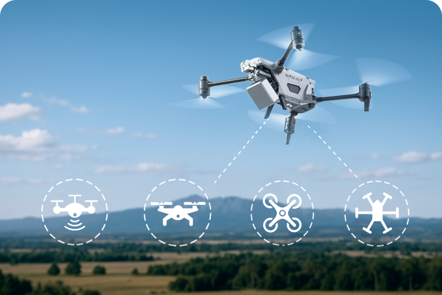
1. Supports detection of UAVs from top global brands
2. 3 km operational range for wide-area scanning
3. Locates concealed signal disruptors in UAV frequency ranges
Clear Benefits for Public Safety
1. Much higher chances of finding rogue pilots
2. Fewer illegal UAV incidents in key areas
3. Lower risk of airspace accidents
Smarter Tools for Law Enforcement
1. Find rogue pilots early and prevent escapes
2. Support fast, targeted enforcement response
3. Detect illegal jammers to protect mission safety
Workflow
Workflow
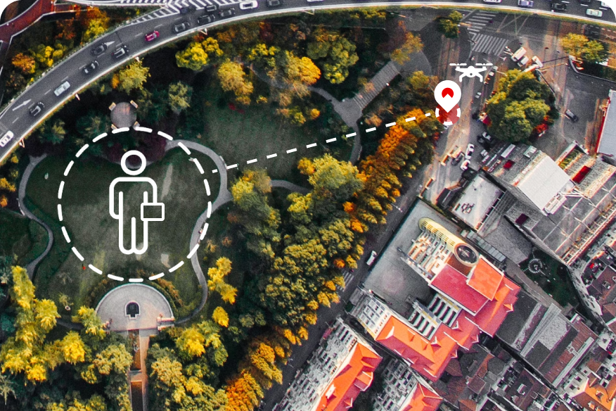
1
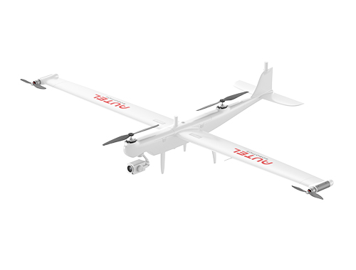
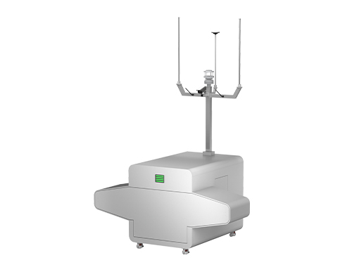
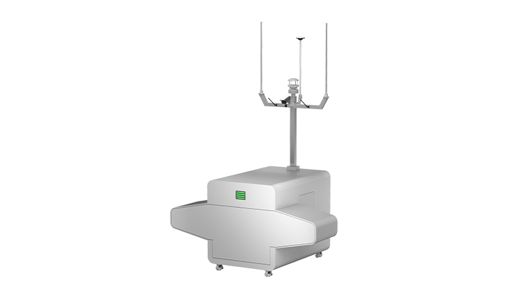
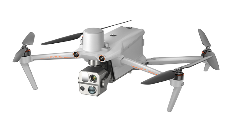
Our UAV takes off with a radio frequency
detector
2
It scans wide areas for suspicious signals
3
If anything strange is found, the UAV flies
closer to investigate
4
It finds the rogue pilot and shares their
location instantly
Eyes in the sky 24/7 for highly efficient monitoring of borders
Anti-Smuggling, Border Watch
Eyes in the sky 24/7 for highly efficient monitoring of borders
Overview
The United States stands as one of the largest countries in terms of coastal and border with defense demands:
over 95,000 coastal miles alone. Whether coastal or on the ground at borders, ongoing prevention and control
of smuggling plays an important part of governance, national security and long-term development. However, as
long-term and high-risk anti-smuggling activities continue on, the process of finding targets, collecting
evidence and logging can have challenges. In order to effectively combat smuggling, a combination of UAVs
and tracking antennas can be use, allowing for highly mobile, efficient law enforcement. UAVs can be paired
with automated nests for 24-hour autonomous inspections on routes with high smuggling rates. An extended
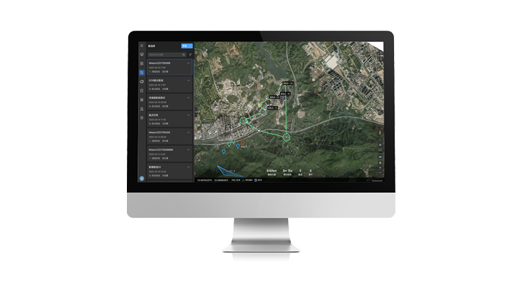
benefit of this solution is the ability to utilize a full command center, allowing law enforcement personnel
to analyze, view, and synchronize all aspects of ongoing operations efficiently. Ultimately, applying these
solutions significantly increases the efficiency of patrolling, while also offering increased safety for
personnel, making it possible to capture evidence via eyes in the sky.
Pain Points
Lengthy Patrol Routes
When borders get long, are obscured by jungle or even have issues with wilderness, border watch
becomes increasingly complex. Blind spots of fixed observation are also significant, particularly at
night. In some cases, patrol operations can take several days, with patchy monitoring and coverage.
High Risk To Law Enforcement Personnel
Whether risk from operating and cracking down on suspects or from the dangerous terrain borders often
sit upon, officers who spend time on patrol are exposed to dangerous situations regularly.
Difficulties In Obtaining Evidence
Smuggling activities are mobile and covert. Obtaining evidence real-time during a developing
situation with enough time to act is difficult for border personnel.
Taking out the skies, drones can provide quiet and large-scale cruising and monitoring of target
areas. Visible light/night vision high-definition images can be shared with ease.Full 3D route
planning and autonomous flying, intelligent identification and comparison of changes in border
routes over time.
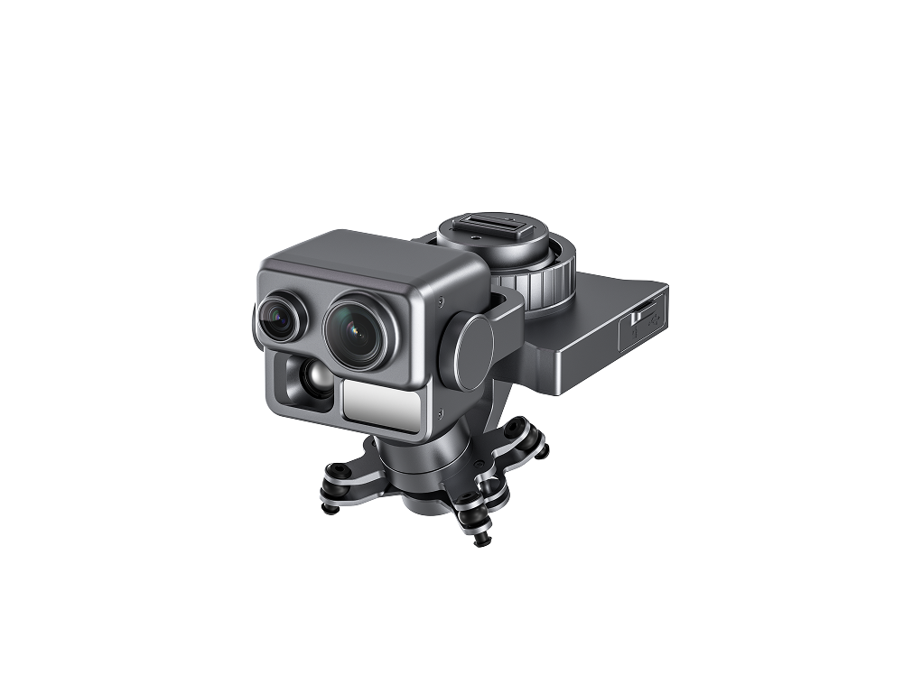
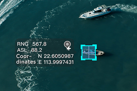
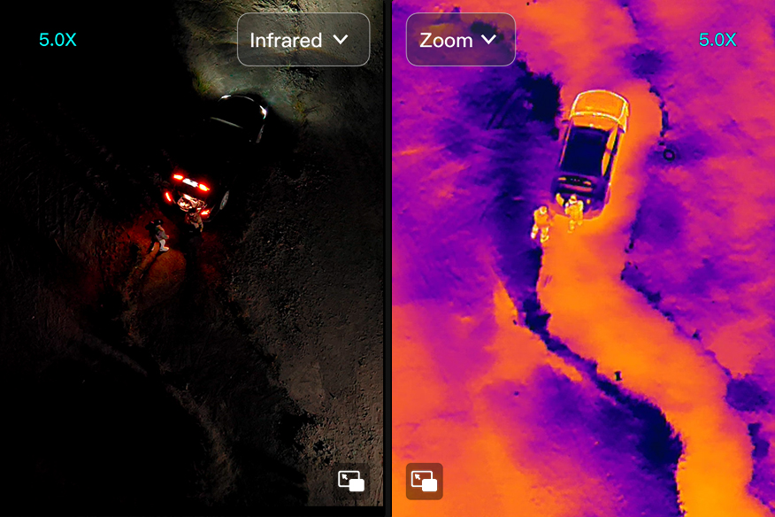
Non-contact Investigations, Analysis
Accurate positioning, automatic circling of targets, 1.2km laser rangefinder to guide investigation,
infrared/night vision tracking, heavily reducing risk of law enforcement contact.
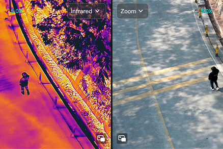
HD Forensics, Remote Command Ready
50x optical zoom and 1280×1024 infrared thermal imaging high-definition images, effectively
identifying camouflage, penetrating occlusion, and quickly obtaining evidence.
Public security meets innovation, facilitating a digital and intelligent transformation in management
Scalable Security and Premise Management
Public security meets innovation, facilitating a digital and intelligent transformation in management
Overview
Send drones 24/7 to regularly inspect areas with high rates of public safety incidents and key locations
where people gather. Quickly gain an understanding of the situation on the ground through the command
center, solving issues of high security pressure, low patrol efficiency, and difficulty in obtaining
evidence. Ensure that personnel on-site and the command center information are in sync, reducing the cost of
front-to-back communication. Facilitate the rapid collection of evidence for safety incidents and promote
the digital and intelligent transformation of security management.
Pain Points
High Security Pressure
Important activities and large-scale events have a great impact, risk factors are often highly
concealed, and security plans can struggle to cover every base.
Low Patrol Efficiency
Fixed cameras and manual patrols have problems such as unclear, incomplete, invisible, and low
efficiency, and it is often near-impossible to remove all blind spots.
Unified Command Trouble
There are many public security emergencies and complex scenarios, and it is difficult for law
enforcement officers to synchronize information, command and cooperate, and often are at risk.
Solution
Business Value
High-definition Aerial Images
12 million pixels wide-angle field of view can support large-scale monitoring of aircraft hovering in
the air. 50 times visible light optical zoom, 1280×1024 thermal imaging, three-axis stabilized
gimbal, flexible viewing angles, stable imaging, accurate grasp of any gathering and status of
on-site personnel and the event generally. Use of spotlights for auxiliary lighting at night.
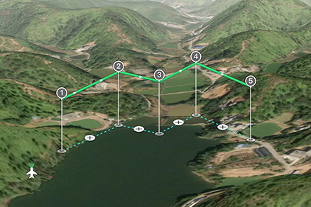
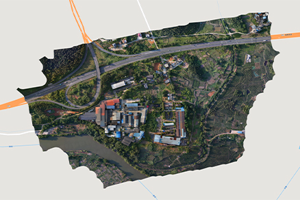
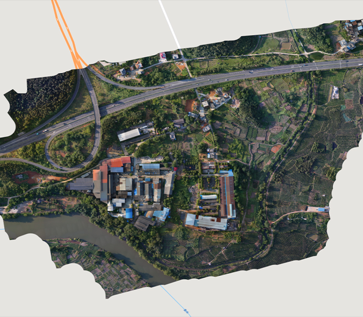
3D Panoramic Automatic Patrol
Record flight trajectories, use Autel Mapper to generate routes based on 3D real scene modeling,
realize automatic, high-frequency, all-weather air patrol of urban environments including buildings,
and make up for dead spots in monitoring. One drone can typically replace the manpower of three
police officers and one police car, integrating both the air and ground into one unit, easily
control a situation.
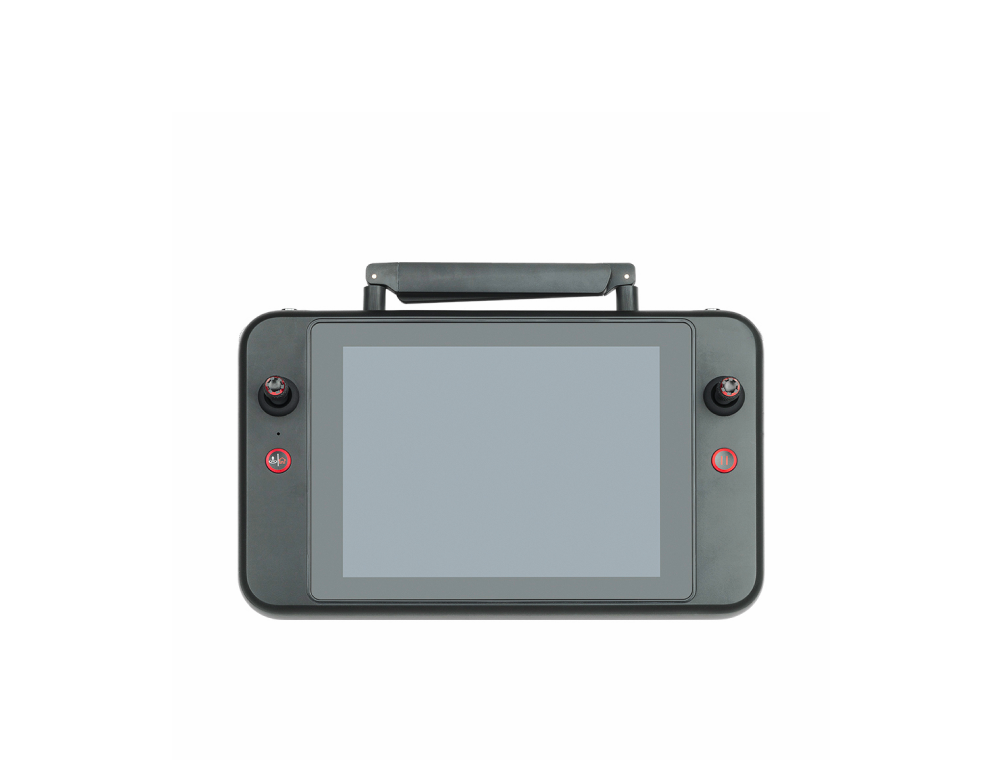
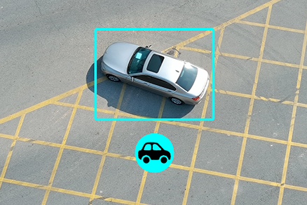
Unified Remote Control Command
AI can lock and dynamically track the activities of people and vehicles, can mount speakers at high
altitudes, make mounted spotlights to illuminate emergencies at night, real-time image transmission,
Information share with on-the-ground forces, contactless communication, and guidance for evacuation
of masses. Key areas can be monitored by hovering, integrated easily into police command and
dispatch system, on-site/rear video intercom, text dialogue, and ultimately unified coordination.